
1978 Map of Dresden South
USGS Topo · Published 1979About this map
Dresden and Leoville anchor this portion of the High Plains near the border of Decatur Co Sheridan Co in the late 1970s. The landscape is defined by the diagonal transit of the Chicago Rock Island and Pacific railroad, which cuts across the townships of Dresden and Lyon. The topographic survey reveals a terrain of draws and divides that eventually drop south toward the North Fork Solomon River. Evidence of local community and utility is found in the Cem near Leoville and a prominent Radio Tower outside Dresden. This area within Sheridan and Union townships maintains a rural character, where small-scale industry like a southern Sandpit represents the local economy during this era.
Find a feature on this map
12 named features on this map. Tap any name to fly to it.
Don’t see what you’re looking for? This feature index may not catch every label — zoom into the map to look around manually.
Map Details
Editions of this 1978 Dresden South Map
This is the sole edition of this map. No revisions or reprints were ever made.
Other maps of this area

1951 · Selden
USGS Topo · 1:62,500

1954 · Goodland
USGS Topo · 1:250,000

1956 · Goodland
USGS Topo · 1:250,000

1957 · Goodland
USGS Topo · 1:250,000
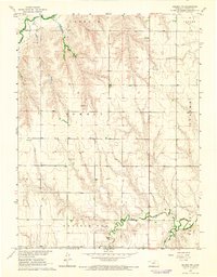
1965 · Selden NE
USGS Topo · 1:24,000
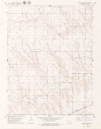
1978 · Dresden North
USGS Topo · 1:24,000
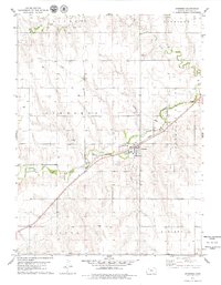
1978 · Jennings
USGS Topo · 1:24,000

1978 · Allison
USGS Topo · 1:24,000

1978 · Selden
USGS Topo · 1:24,000

1979 · Hoxie NE
USGS Topo · 1:24,000