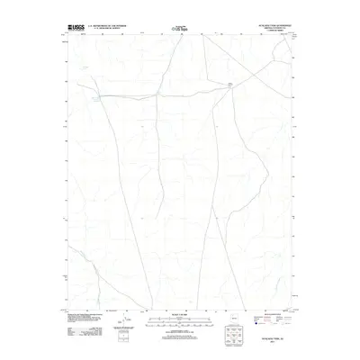
2011 Map of Hualapai Tank
USGS Topo · Published 2011About this map
Camp Number Five stands as the primary named settlement in this high-desert portion of Coconino County, characterized by a network of seasonal water catchments and drainage patterns. The landscape is defined by its water management features, including the eponymous Hualapai Tank and uniquely named reservoirs like Tank Number Four and One-Half and Tank Number Twenty. These vital points of interest reflect the historic and ongoing importance of water security in the Arizona backcountry. The natural drainage of the area is carved by the paths of Sand Creek and Black Tank Wash, which dominate the hydrology of this arid plateau. This 2011 edition documents the crossroads of unpaved transit routes that connect these remote tanks and camps, providing a detailed record of the region's infrastructure just after the first decade of the new century.
Find a feature on this map
6 named features on this map. Tap any name to fly to it.
Don’t see what you’re looking for? This feature index may not catch every label — zoom into the map to look around manually.
Map Details
Editions of this 2011 Hualapai Tank Map
This is the sole edition of this map. No revisions or reprints were ever made.
Other maps of this area

1886 · Chino
USGS Topo · 1:250,000

1886 · Kaibab
USGS Topo · 1:250,000

1891 · Chino
USGS Topo · 1:250,000

1948 · Williams
USGS Topo · 1:250,000

1953 · Grand Canyon
USGS Topo · 1:250,000

1954 · Williams
USGS Topo · 1:250,000

1956 · Williams
USGS Topo · 1:250,000

1957 · Grand Canyon
USGS Topo · 1:250,000

1958 · Grand Canyon
USGS Topo · 1:250,000

1960 · Williams
USGS Topo · 1:250,000