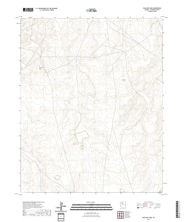
2021 Map of Hualapai Tank
USGS Topo · Published 2021About this map
Hualapai Tank serves as a primary reference point in this corner of Coconino County, situated within a high-altitude drainage network. The landscape is defined by its seasonal watercourses, including Twin Tank Draw and the more significant Black Tank Wash, which cut through the terrain. A notable modern infrastructure element, the Aqueduct, enters the southeastern section of the sheet, highlighting the complex water management systems essential to this arid Arizona region. Mapping from the U.S. Geological Survey reveals the township and range divisions of T30N R4W and T29N R4W, providing a clear look at the public land survey system in an area primarily shaped by natural topography rather than dense settlement. Sand Cr further illustrates the intermittent hydrology that characterizes this high desert environment.
Find a feature on this map
9 named features on this map. Tap any name to fly to it.
Don’t see what you’re looking for? This feature index may not catch every label — zoom into the map to look around manually.
Map Details
Editions of this 2021 Hualapai Tank Map
This is the sole edition of this map. No revisions or reprints were ever made.
Other maps of this area

1886 · Chino
USGS Topo · 1:250,000

1886 · Kaibab
USGS Topo · 1:250,000

1891 · Chino
USGS Topo · 1:250,000

1948 · Williams
USGS Topo · 1:250,000

1953 · Grand Canyon
USGS Topo · 1:250,000

1954 · Williams
USGS Topo · 1:250,000

1956 · Williams
USGS Topo · 1:250,000

1957 · Grand Canyon
USGS Topo · 1:250,000

1958 · Grand Canyon
USGS Topo · 1:250,000

1960 · Williams
USGS Topo · 1:250,000