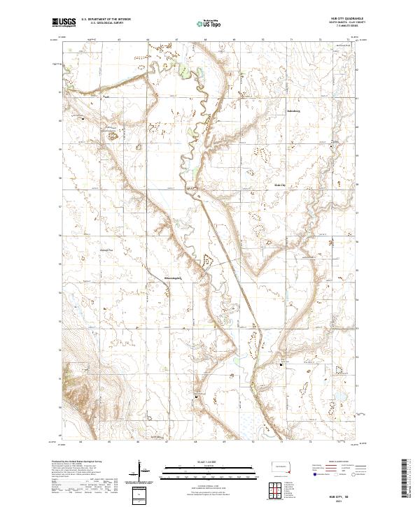
2021 Map of Hub City
USGS Topo · Published 2021About this map
Vermillion River meanders through this agricultural landscape in Clay County, defining the drainage patterns and historical settlement clusters of the region. The map reveals a high concentration of small rural communities and denominational landmarks, including Hub City and the historic church site at Dalesburg Baptist Cem. Notable landforms such as Spirit Mound and Cabbage Flat punctuate the grid of section-line roads, offering insight into the local topography that guided early pioneers. Genealogists will find significant value in the documentation of local burial grounds, ranging from Old Lodi Cem in the northwest to Clay Point Cem in the south. The proximity of Lodi Airport and Glenwood Field suggests a continued reliance on small-scale aviation for agricultural and local transit into the modern era, while the rural post-office settlements like Bloomingdale and Lodi maintain their positions within the township structure.
Find a feature on this map
41 named features on this map. Tap any name to fly to it.
Don’t see what you’re looking for? This feature index may not catch every label — zoom into the map to look around manually.
Map Details
Editions of this 2021 Hub City Map
This is the sole edition of this map. No revisions or reprints were ever made.
Other maps of this area

1897 · Canton
USGS Topo · 1:125,000

1898 · Parker
USGS Topo · 1:125,000

1898 · Elk Point
USGS Topo · 1:125,000

1900 · Canton
USGS Topo · 1:125,000

1901 · Elk Point
USGS Topo · 1:125,000

1907 · Elk Point
USGS Topo · 1:125,000

1955 · Sioux City
USGS Topo · 1:250,000

1955 · Sioux Falls
USGS Topo · 1:250,000

1958 · Sioux City
USGS Topo · 1:250,000

1958 · Sioux Falls
USGS Topo · 1:250,000
Featured Places
- Prairie Center Township, SD
- Garfield Township, SD
- Spirit Mound Township, SD
- Pleasant Valley Township, SD
- Glenwood Township, SD