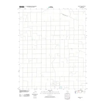
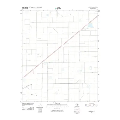
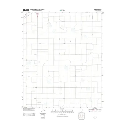
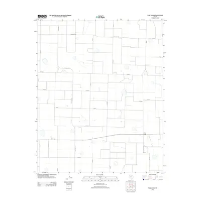
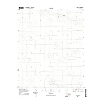
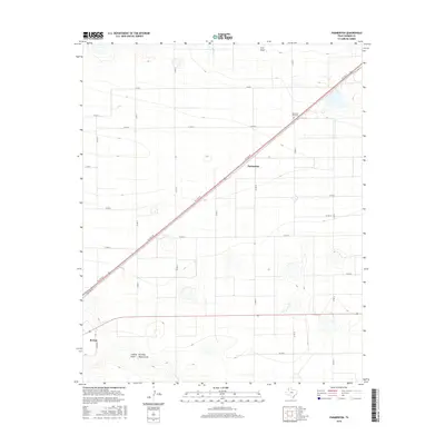
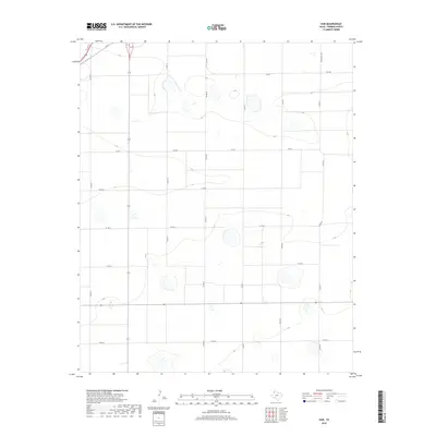
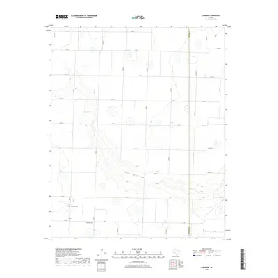
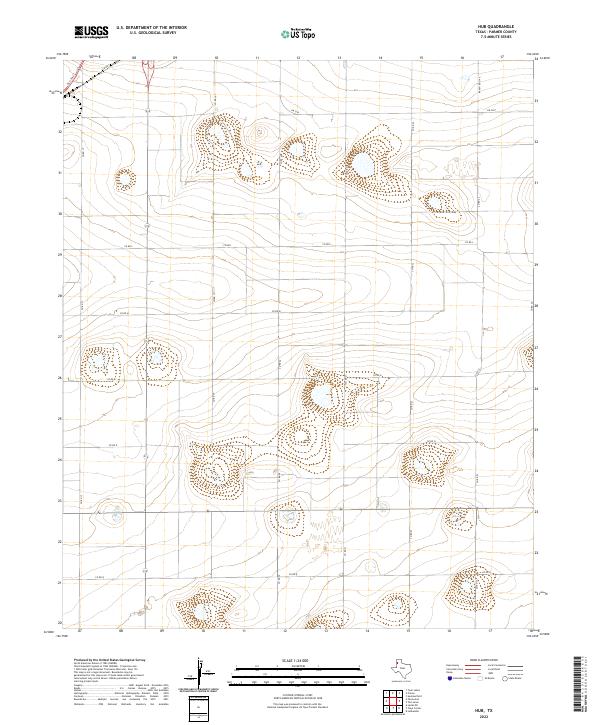
1965 Map of Hub
USGS Topo · Published 1968About this map
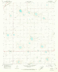
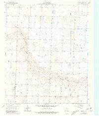
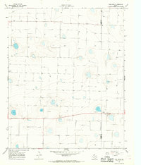
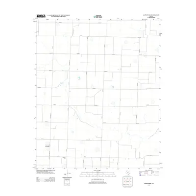
The small settlement of Hub anchors this agricultural portion of Parmer County during the mid-1960s. The landscape is defined by its industrial and civic utility, centered around the Hub Community Hall and local infrastructure like the Substation. Near the northern boundary, the Atchison Topeka and Santa Fe railroad cuts across the territory, signaling the importance of rail transport for the region's produce.
Find a feature on this map
9 named features on this map. Tap any name to fly to it.
Don’t see what you’re looking for? This feature index may not catch every label — zoom into the map to look around manually.
Map Details
Editions of this 1965 Hub Map
This is the sole edition of this map. No revisions or reprints were ever made.
Historical Maps of Hub Through Time
60 maps found
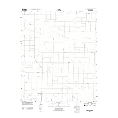
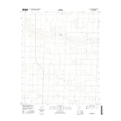
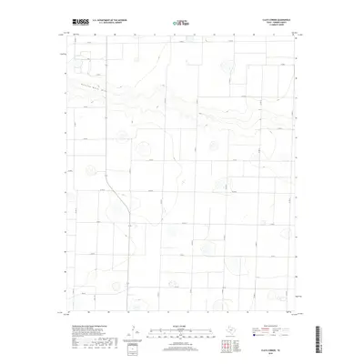
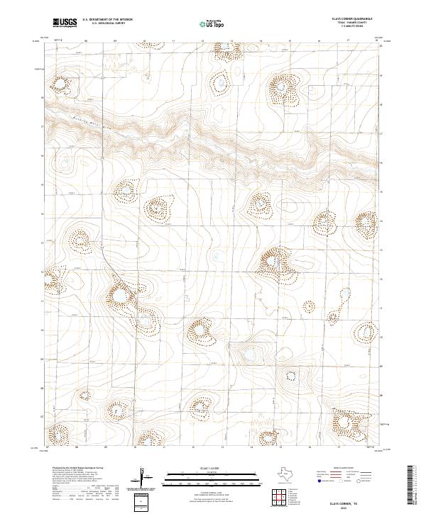
1963 Clays Corner
Parmer County, TX
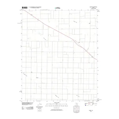
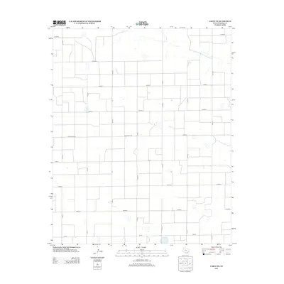
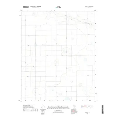
1963 Lariat NE
Parmer County, TX
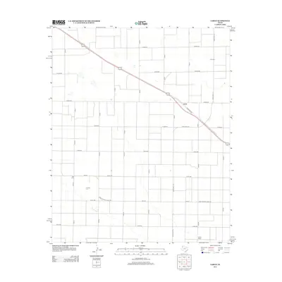
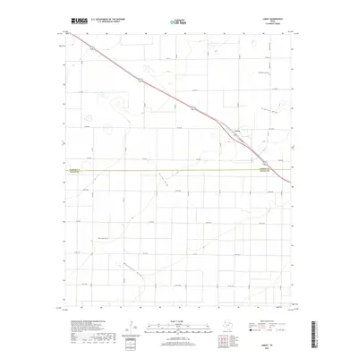
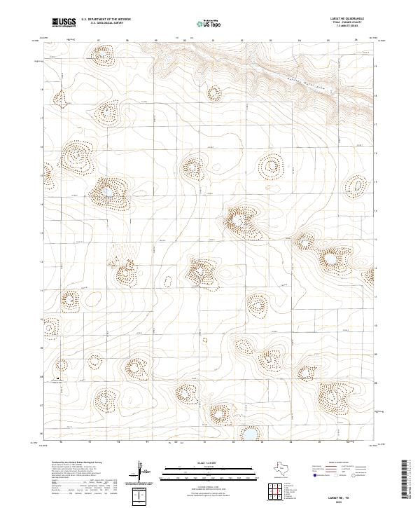
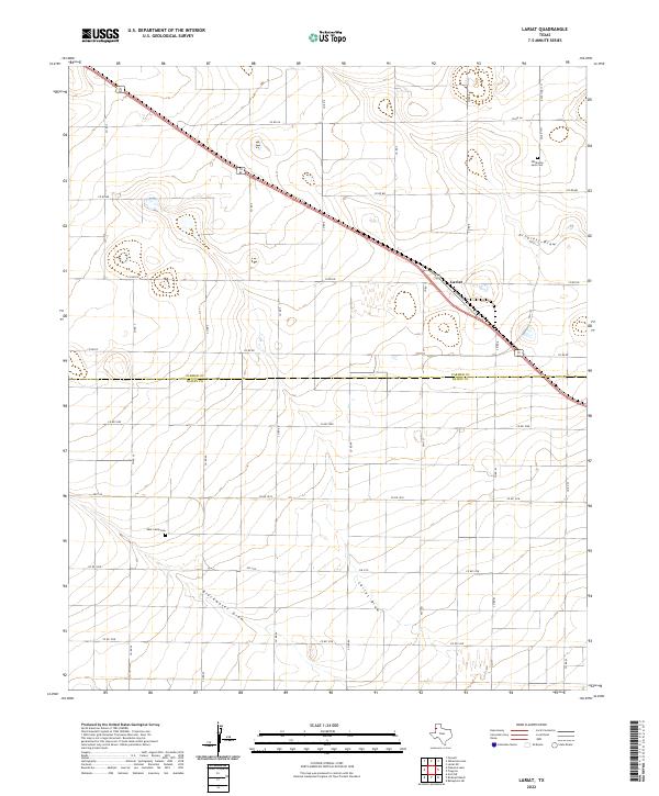
1963 Lariat
Parmer County, TX
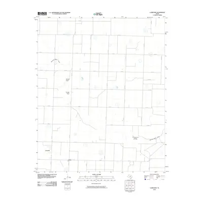
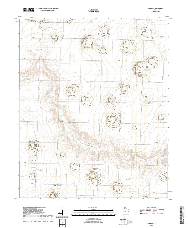
1963 Lazbuddie
Parmer County, TX
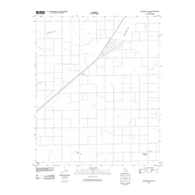
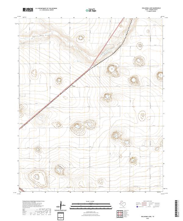
1963 Oklahoma Lane
Parmer County, TX
1965 Hub
Parmer County, TX
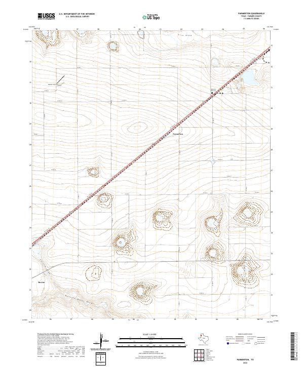
1965 Parmerton
Parmer County, TX
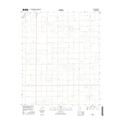
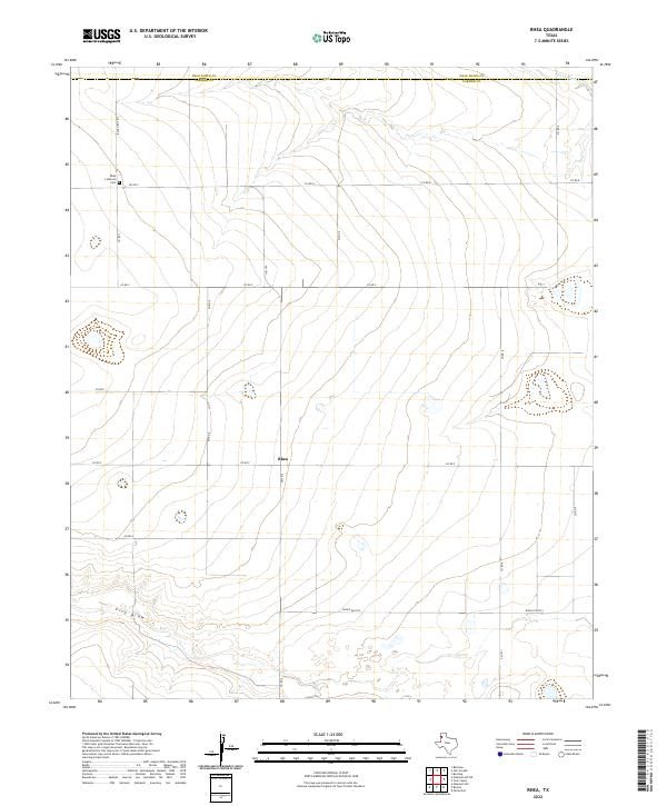
1965 Rhea
Parmer County, TX
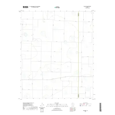
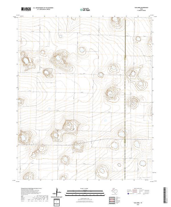
1965 Tam Anne
Parmer County, TX
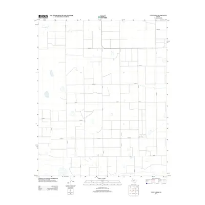
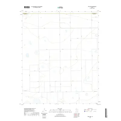
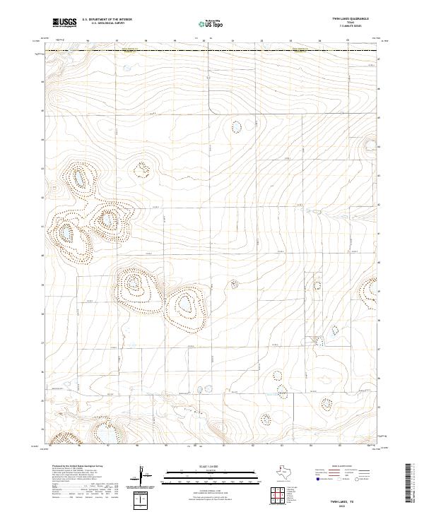
1965 Twin Lakes
Parmer County, TX
2010 Clays Corner
Parmer County, TX
2010 Hub
Parmer County, TX
2010 Lariat NE
Parmer County, TX
2010 Lariat
Parmer County, TX
2010 Lazbuddie
Parmer County, TX
2010 Oklahoma Lane
Parmer County, TX
2010 Parmerton
Parmer County, TX
2010 Rhea
Parmer County, TX
2010 Tam Anne
Parmer County, TX
2010 Twin Lakes
Parmer County, TX
2012 Clays Corner
Parmer County, TX
2012 Hub
Parmer County, TX
2012 Lariat NE
Parmer County, TX
2012 Lariat
Parmer County, TX
2012 Lazbuddie
Parmer County, TX
2012 Oklahoma Lane
Parmer County, TX
2012 Parmerton
Parmer County, TX
2012 Rhea
Parmer County, TX
2012 Tam Anne
Parmer County, TX
2012 Twin Lakes
Parmer County, TX
2016 Clays Corner
Parmer County, TX
2016 Hub
Parmer County, TX
2016 Lariat NE
Parmer County, TX
2016 Lariat
Parmer County, TX
2016 Lazbuddie
Parmer County, TX
2016 Oklahoma Lane
Parmer County, TX
2016 Parmerton
Parmer County, TX
2016 Rhea
Parmer County, TX
2016 Tam Anne
Parmer County, TX
2016 Twin Lakes
Parmer County, TX
2019 Clays Corner
Parmer County, TX
2019 Hub
Parmer County, TX
2019 Lariat NE
Parmer County, TX
2019 Lariat
Parmer County, TX
2019 Lazbuddie
Parmer County, TX
2019 Oklahoma Lane
Parmer County, TX
2019 Parmerton
Parmer County, TX
2019 Rhea
Parmer County, TX
2019 Tam Anne
Parmer County, TX
2019 Twin Lakes
Parmer County, TX
2022 Clays Corner
Parmer County, TX
2022 Hub
Parmer County, TX
2022 Lariat NE
Parmer County, TX
2022 Lariat
Parmer County, TX
2022 Lazbuddie
Parmer County, TX
2022 Oklahoma Lane
Parmer County, TX
2022 Parmerton
Parmer County, TX
2022 Rhea
Parmer County, TX
2022 Tam Anne
Parmer County, TX
2022 Twin Lakes
Parmer County, TX