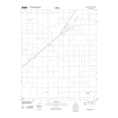
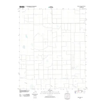
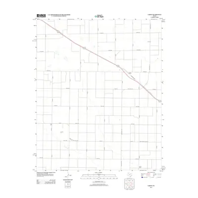
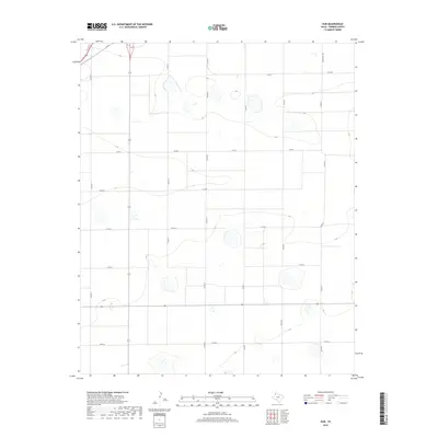
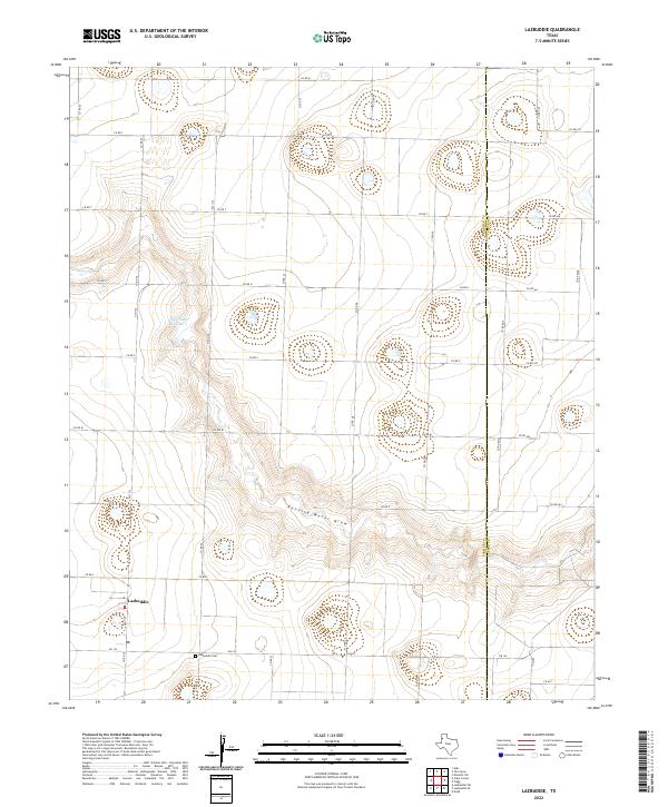
1963 Map of Lazbuddie
USGS Topo · Published 1965About this map
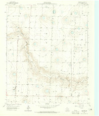
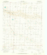
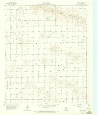
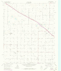
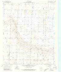
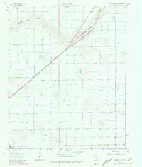
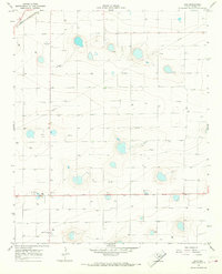
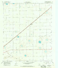
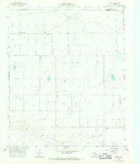
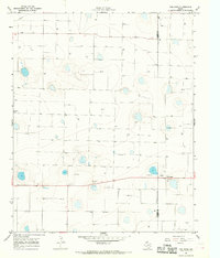
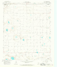
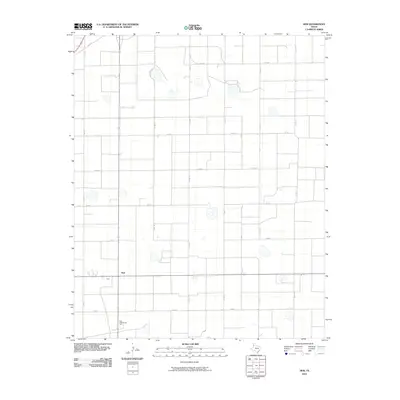
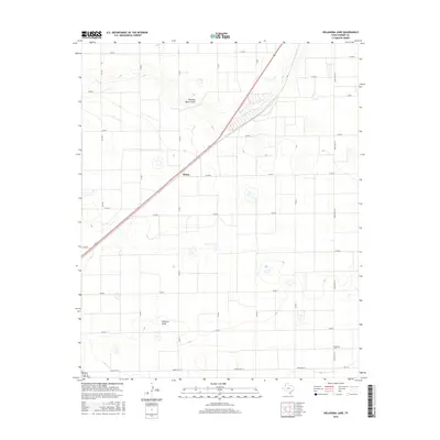
Lazbuddie serves as the focal point of this High Plains landscape, situated on the edge of the distinctive Running Water Draw. Published following data collection by the Texas Water Commission and the High Plains Underground Water Conservation District No. 1, the map is dominated by an extensive network of irrigation wells. These numbered features, such as Well 3940 and Well 3941, reveal the intensive agricultural development of the Panhandle in the early 1960s. The local community center includes the Lazbuddie Cem, an Athletic Field, and a utility Substation. The eastern edge of the survey tracks the Parmer Co Castro Co line, crossing terrain marked by numerous depressions and the winding path of the draw, illustrating the transition from open range to a highly engineered water-conservation landscape.
Find a feature on this map
87 named features on this map. Tap any name to fly to it.
Don’t see what you’re looking for? This feature index may not catch every label — zoom into the map to look around manually.
Map Details
Editions of this 1963 Lazbuddie Map
2 editions found
Historical Maps of Lazbuddie Through Time
60 maps found
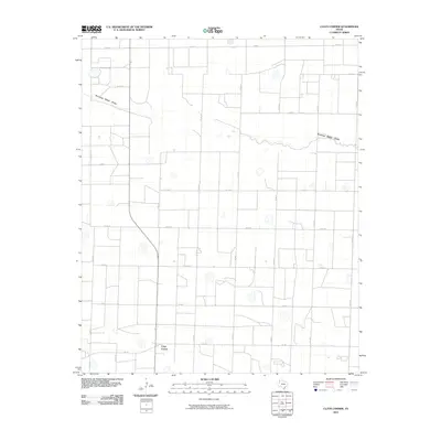
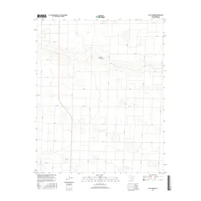
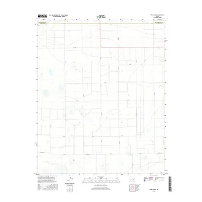
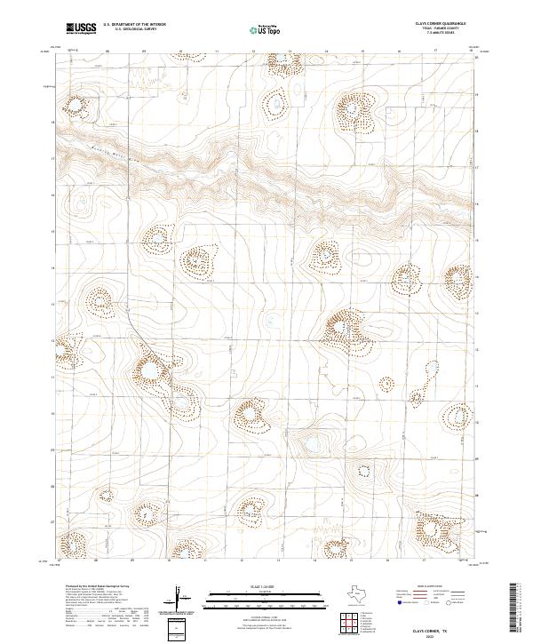
1963 Clays Corner
Parmer County, TX
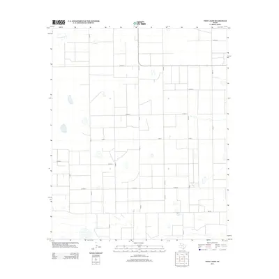
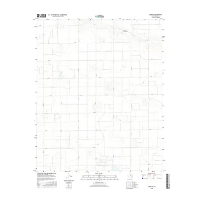
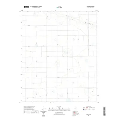
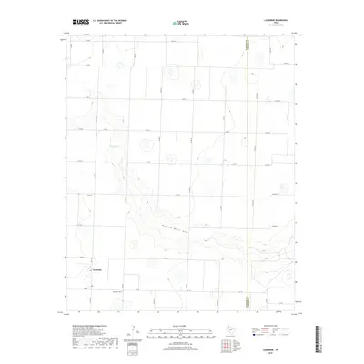
1963 Lariat NE
Parmer County, TX
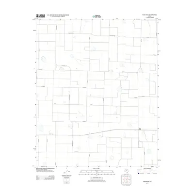
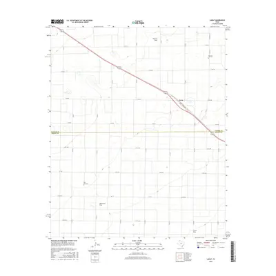
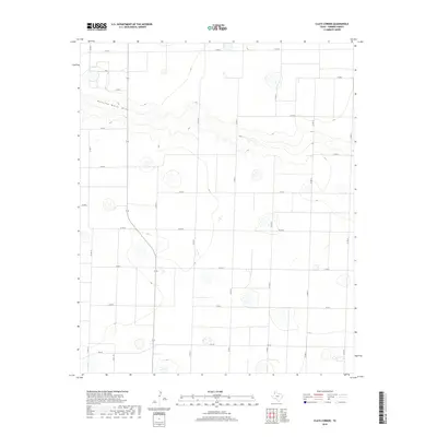
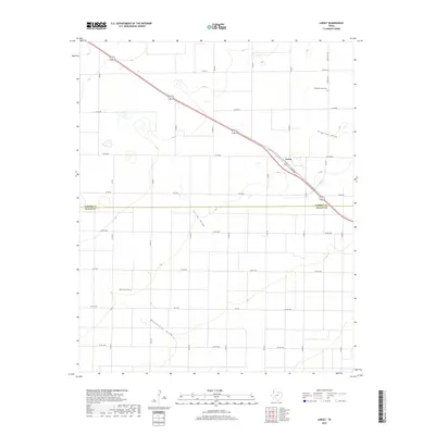
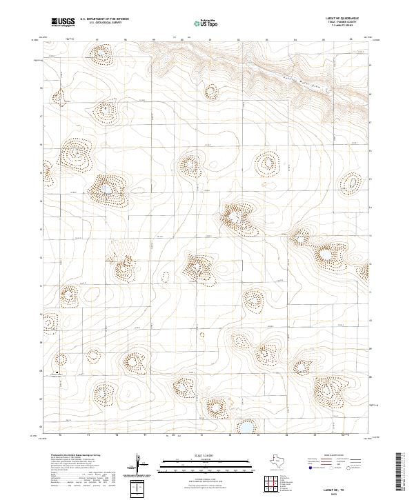
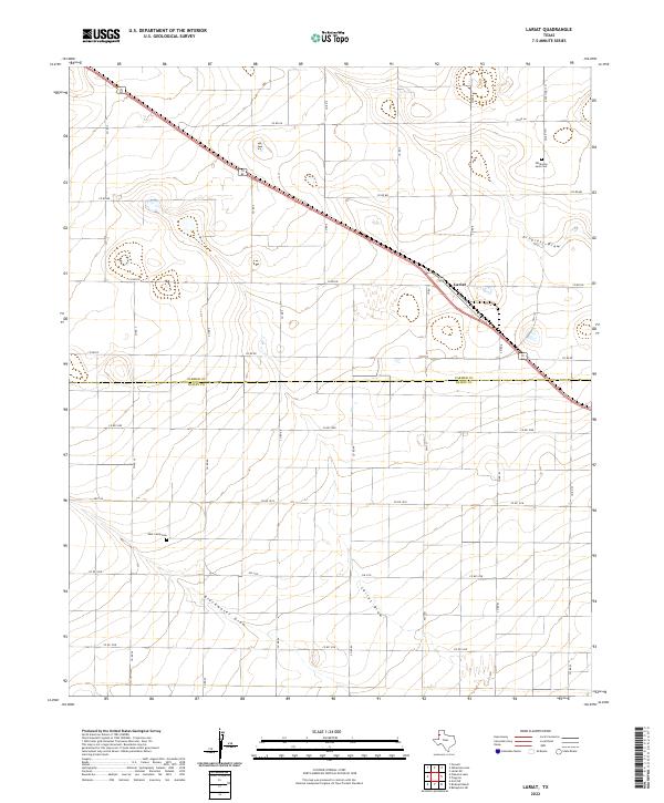
1963 Lariat
Parmer County, TX
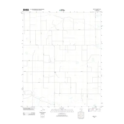
1963 Lazbuddie
Parmer County, TX
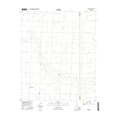
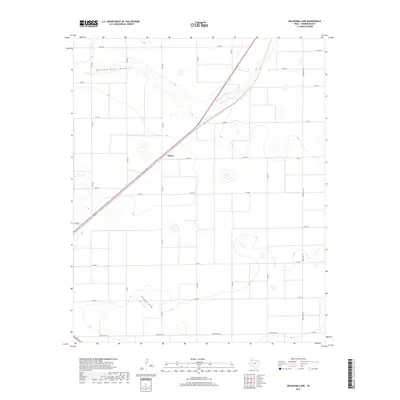
1963 Oklahoma Lane
Parmer County, TX
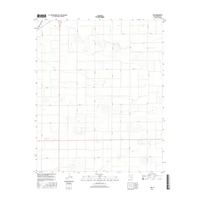
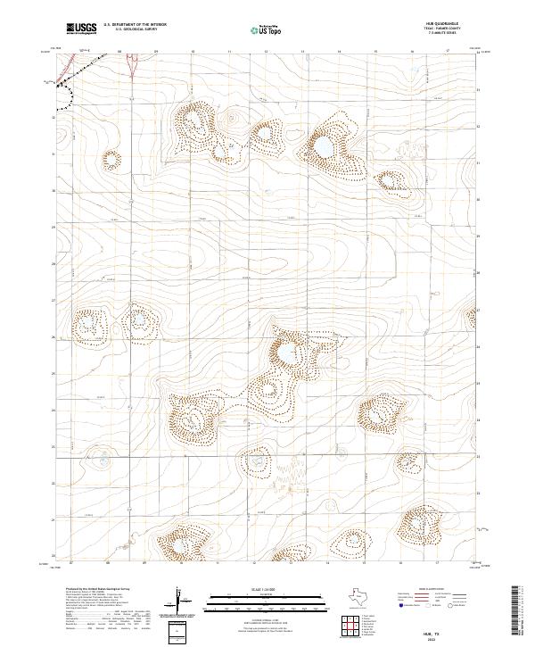
1965 Hub
Parmer County, TX
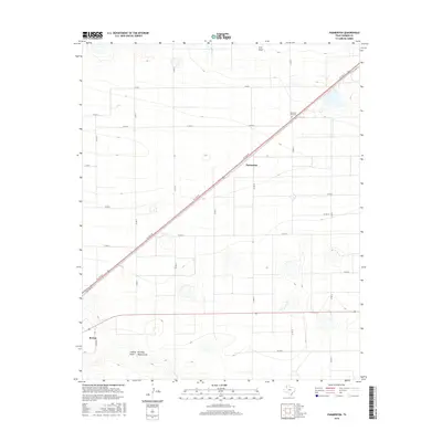
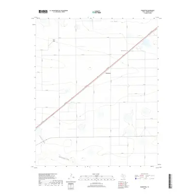
1965 Parmerton
Parmer County, TX
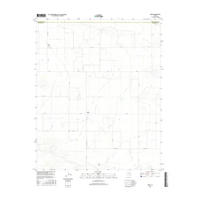
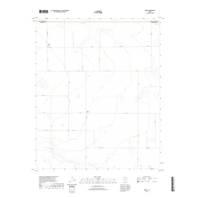
1965 Rhea
Parmer County, TX
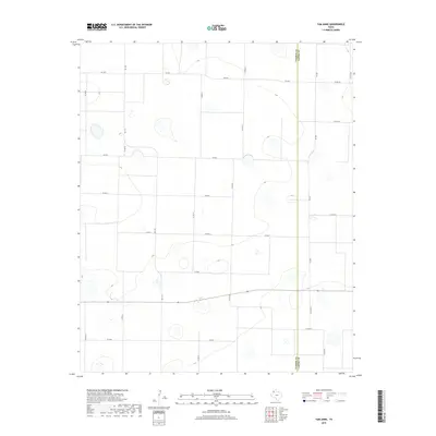
1965 Tam Anne
Parmer County, TX
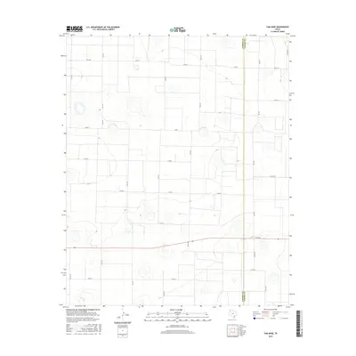
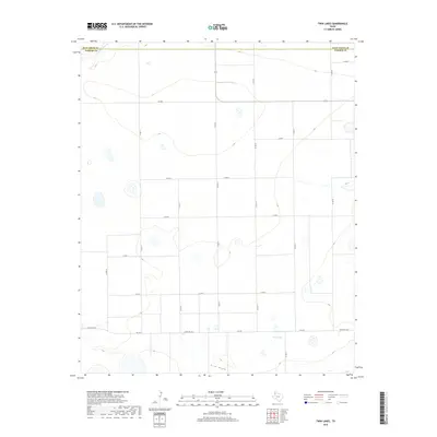
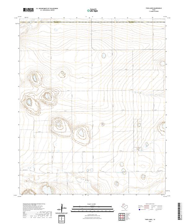
1965 Twin Lakes
Parmer County, TX
2010 Clays Corner
Parmer County, TX
2010 Hub
Parmer County, TX
2010 Lariat NE
Parmer County, TX
2010 Lariat
Parmer County, TX
2010 Lazbuddie
Parmer County, TX
2010 Oklahoma Lane
Parmer County, TX
2010 Parmerton
Parmer County, TX
2010 Rhea
Parmer County, TX
2010 Tam Anne
Parmer County, TX
2010 Twin Lakes
Parmer County, TX
2012 Clays Corner
Parmer County, TX
2012 Hub
Parmer County, TX
2012 Lariat NE
Parmer County, TX
2012 Lariat
Parmer County, TX
2012 Lazbuddie
Parmer County, TX
2012 Oklahoma Lane
Parmer County, TX
2012 Parmerton
Parmer County, TX
2012 Rhea
Parmer County, TX
2012 Tam Anne
Parmer County, TX
2012 Twin Lakes
Parmer County, TX
2016 Clays Corner
Parmer County, TX
2016 Hub
Parmer County, TX
2016 Lariat NE
Parmer County, TX
2016 Lariat
Parmer County, TX
2016 Lazbuddie
Parmer County, TX
2016 Oklahoma Lane
Parmer County, TX
2016 Parmerton
Parmer County, TX
2016 Rhea
Parmer County, TX
2016 Tam Anne
Parmer County, TX
2016 Twin Lakes
Parmer County, TX
2019 Clays Corner
Parmer County, TX
2019 Hub
Parmer County, TX
2019 Lariat NE
Parmer County, TX
2019 Lariat
Parmer County, TX
2019 Lazbuddie
Parmer County, TX
2019 Oklahoma Lane
Parmer County, TX
2019 Parmerton
Parmer County, TX
2019 Rhea
Parmer County, TX
2019 Tam Anne
Parmer County, TX
2019 Twin Lakes
Parmer County, TX
2022 Clays Corner
Parmer County, TX
2022 Hub
Parmer County, TX
2022 Lariat NE
Parmer County, TX
2022 Lariat
Parmer County, TX
2022 Lazbuddie
Parmer County, TX
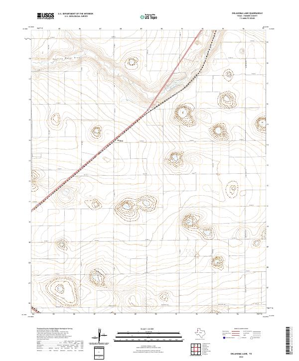
2022 Oklahoma Lane
Parmer County, TX
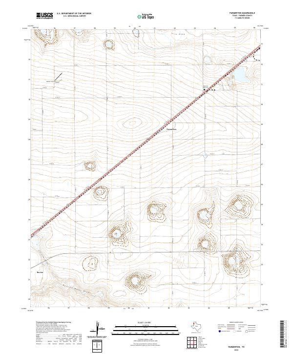
2022 Parmerton
Parmer County, TX
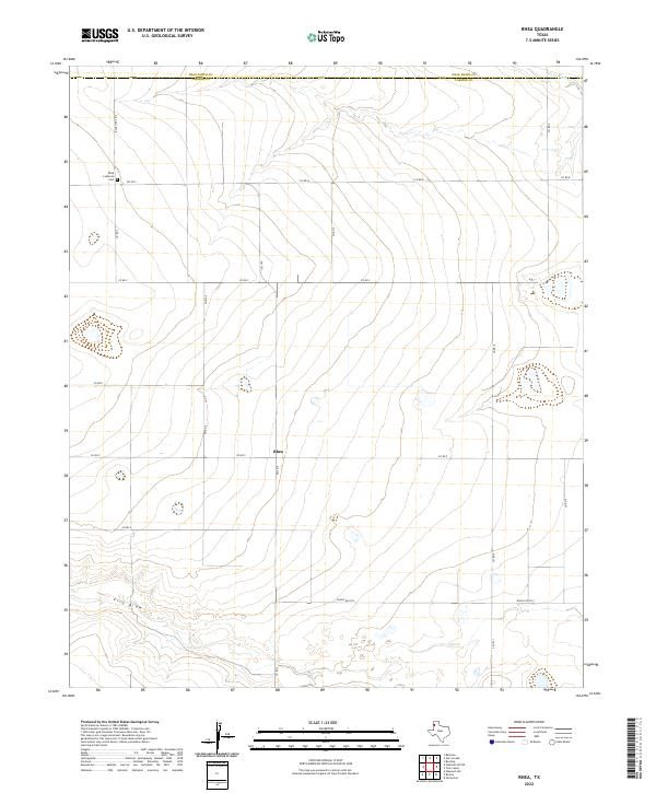
2022 Rhea
Parmer County, TX
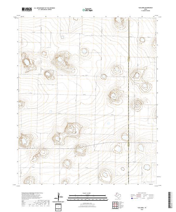
2022 Tam Anne
Parmer County, TX
2022 Twin Lakes
Parmer County, TX