
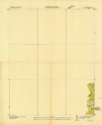
1935 Map of Hubbard Springs
USGS Topo · Published 1935About this map
Cumberland Mountain and the Poor Valley Ridge define the northern corridor of this 1935 study, where the Louisville and Nashville railroad winds through the landscape. This era in Lee County shows a dense network of mountain communities connected by historic routes, most notably the Wilderness Trail and State Highway Nos 58 and 421. The topography is marked by significant gaps like Hubbard Spring Gap and Doubling Gap, which served as vital passage points through the ridge lines.
Find a feature on this map
68 named features on this map. Tap any name to fly to it.
Don’t see what you’re looking for? This feature index may not catch every label — zoom into the map to look around manually.
Map Details
Editions of this 1935 Hubbard Springs Map
This is the sole edition of this map. No revisions or reprints were ever made.
Other maps of this area

1887 · Jonesville
USGS Topo · 1:125,000

1891 · Jonesville
USGS Topo · 1:125,000

1903 · Harlan
USGS Topo · 1:48,000

1916 · Harlan
USGS Topo · 1:48,000

1916 · Nolansburg
USGS Topo · 1:48,000

1919 · Nolansburg
USGS Topo · 1:62,500

1919 · Harlan
USGS Topo · 1:62,500

1932 · Hagan
USGS Topo · 1:62,500

1935 · Kyles Ford
USGS Topo · 1:24,000
1935 · Evarts
USGS Topo · 1:24,000