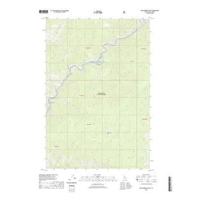
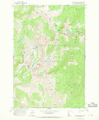
2020 Map of Huckleberry Butte
USGS Topo · Published 2020About this map
Middle Fork Clearwater Wild and Scenic River corridor dominates the northern reaches of this Idaho County landscape, where the Lochsa River carves through the protected Clearwater National Forest. Small settlements such as Boulder Flat and Beaver Flat are situated along the riverbanks, representing the primary human footprint in this densely forested region. Further south, the terrain rises toward high points like Lochsa Peak, Old Man Point, and the namesake Huckleberry Butte.
Find a feature on this map
38 named features on this map. Tap any name to fly to it.
Don’t see what you’re looking for? This feature index may not catch every label — zoom into the map to look around manually.
Map Details
Editions of this 2020 Huckleberry Butte Map
This is the sole edition of this map. No revisions or reprints were ever made.
Other maps of this area

1911 · Lolo
USGS Topo · 1:250,000

1913 · Lolo
USGS Topo · 1:250,000

1956 · Hamilton
USGS Topo · 1:250,000

1959 · Hamilton
USGS Topo · 1:250,000

1960 · Hamilton
USGS Topo · 1:250,000

1964 · Hamilton
USGS Topo · 1:250,000
1966 · Coolwater Mtn
USGS Topo · 1:24,000
1966 · Weitas Butte
USGS Topo · 1:24,000
1966 · Chimney Peak
USGS Topo · 1:24,000
1966 · Fenn Mountain
USGS Topo · 1:24,000