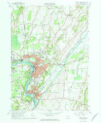
1966 Map of Hudson Falls
USGS Topo · Published 1984About this map
The Hudson River dictates the industrial and civic layout of the Upper Hudson Valley in the mid-1960s, serving as the border between Warren Co, Washington Co, and Saratoga Co. The landscape is dominated by the complex hydraulics of the Champlain Canal and the Old Champlain Canal, which intersect with the Feeder Canal to support the local mills and transit networks. This era shows the urban centers of Glens Falls, Hudson Falls, and Fort Edward in a state of high density, with residential blocks expanding toward South Glens Falls and the institutional campus of Adirondack Community College.
Find a feature on this map
84 named features on this map. Tap any name to fly to it.
Don’t see what you’re looking for? This feature index may not catch every label — zoom into the map to look around manually.
Map Details
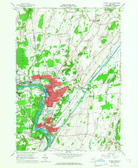
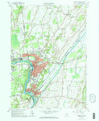
Editions of this 1966 Hudson Falls Map
3 editions found
Other maps of this area

1893 · Fort Ann
USGS Topo · 1:62,500

1895 · Cambridge
USGS Topo · 1:62,500

1895 · Fort Ann
USGS Topo · 1:62,500

1895 · Glens Falls
USGS Topo · 1:62,500

1897 · Glens Falls
USGS Topo · 1:62,500

1898 · Cambridge
USGS Topo · 1:62,500

1898 · Fort Ann
USGS Topo · 1:62,500

1900 · Schuylerville
USGS Topo · 1:62,500

1901 · Fort Ann
USGS Topo · 1:62,500

1901 · Cambridge
USGS Topo · 1:62,500