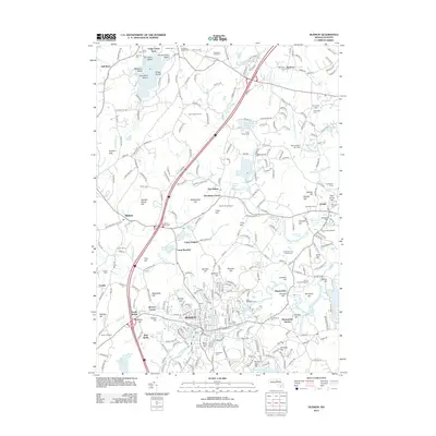
2012 Map of Hudson
USGS Topo · Published 2012About this map
Hudson and its surrounding orchard lands define the center of this survey, where the Assabet River winds through a landscape of historic cemeteries and glacial hills. The township shows a blend of early settlement patterns and modern transit, marked by the presence of numerous family-named hills like Potash Hill, Sawyer Hill, and Gospel Hill. To the north, Bare Hill Pond serves as a prominent landmark near Harvard Town Beach, surrounded by islands such as Ministers Island and Spectacle Island.
Find a feature on this map
106 named features on this map. Tap any name to fly to it.
Don’t see what you’re looking for? This feature index may not catch every label — zoom into the map to look around manually.
Map Details
Editions of this 2012 Hudson Map
This is the sole edition of this map. No revisions or reprints were ever made.
Other maps of this area

1886 · Lowell
USGS Topo · 1:62,500

1886 · Framingham
USGS Topo · 1:62,500

1887 · Marlboro
USGS Topo · 1:62,500

1889 · Marlboro
USGS Topo · 1:62,500

1889 · Framingham
USGS Topo · 1:62,500

1893 · Lowell
USGS Topo · 1:62,500

1893 · Groton
USGS Topo · 1:62,500

1894 · Framingham
USGS Topo · 1:62,500

1896 · Marlboro
USGS Topo · 1:62,500

1898 · Marlboro
USGS Topo · 1:62,500