
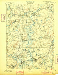
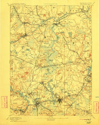
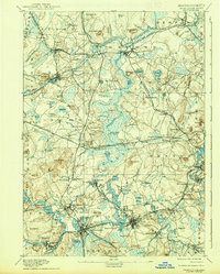
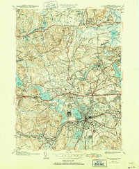
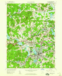
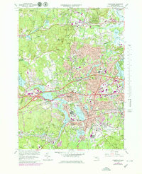
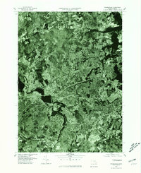
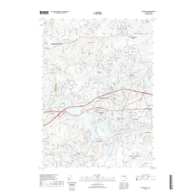
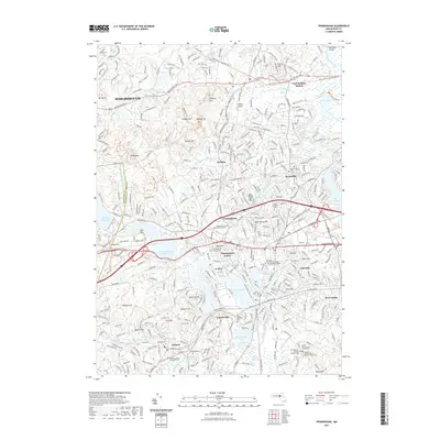
1894 Map of Framingham
USGS Topo · Published 1894About this map
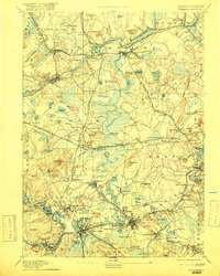
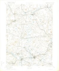
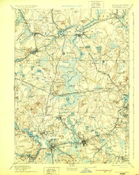
Concord and the surrounding Middlesex County townships are captured here at the height of the Victorian era, defined by a dense network of rail lines including the Fitchburg Railroad and the Boston and Albany Railroad. The landscape is a mix of intellectual retreats and early industrial centers, featuring the iconic Lake Walden alongside the manufacturing footprint of the American Powder Co. in Maynard. Local history researchers will find notable landmarks like the Mass. State Muster Grounds in Framingham Center and the State Prison near Concord River, illustrating the civic and military infrastructure of the late 19th century. From the literary landscape of Sudbury to the bustling depots at Bedford Station and South Framingham, the map documents a region in transition from its agrarian roots to a suburban and industrial corridor. Numerous family-named hills, such as Nobscot Hill and Annursnack Hill, provide a detailed view of the local topography before the significant development of the modern metropolitan era.
Find a feature on this map
171 named features on this map. Tap any name to fly to it.
Don’t see what you’re looking for? This feature index may not catch every label — zoom into the map to look around manually.
Map Details
Editions of this 1894 Framingham Map
11 editions found
1894 edition
15.8 x 20.1 inches
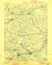
1900 edition
15.8 x 20.1 inches
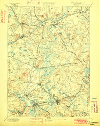
1901 edition
15.8 x 19.9 inches
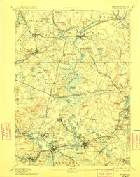
1902 edition
15.8 x 19.9 inches

1905 edition
15.8 x 19.8 inches
1908 edition
15.8 x 19.8 inches
1911 edition
15.8 x 19.9 inches
1917 edition
15.8 x 19.7 inches
1922 edition
16.6 x 20.07 inches
1929 edition
15.8 x 19.8 inches
1938 edition
15.8 x 19.6 inches
Historical Maps of Newton Through Time
14 maps found

1886 Framingham
Middlesex County, MA

1889 Framingham
Middlesex County, MA
1894 Framingham
Middlesex County, MA

1918 Framingham
Middlesex County, MA
1943 Framingham
Middlesex County, MA
1950 Framingham
Middlesex County, MA
1965 Framingham
Middlesex County, MA
1977 Framingham
Middlesex County, MA
1987 Framingham
Middlesex County, MA
2012 Framingham
Middlesex County, MA
2015 Framingham
Middlesex County, MA
2018 Framingham
Middlesex County, MA
2021 Framingham
Middlesex County, MA
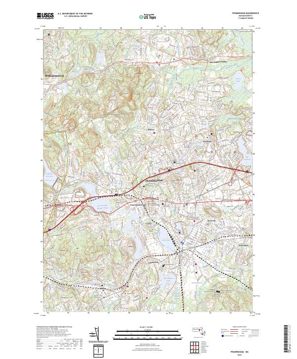
2024 Framingham
Middlesex County, MA