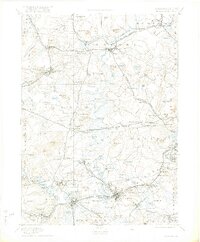
1894 Map of Framingham
USGS Topo · Published 1922About this map
Concord and the surrounding Middlesex County townships serve as a major crossroads for late nineteenth-century transit and civic expansion in this survey. The landscape is defined by its sophisticated rail network, including the Fitchburg Railroad and the Massachusetts Central Railroad, which facilitated the growth of industrial hubs like Maynard and Saxonville. Large-scale institutional footprints are evident at the State Prison in Westvale and the Mass. State Muster Grounds near Framingham Center, illustrating the region's importance for state administration and military training.
Find a feature on this map
165 named features on this map. Tap any name to fly to it.
Don’t see what you’re looking for? This feature index may not catch every label — zoom into the map to look around manually.
Map Details
Editions of this 1894 Framingham Map
11 editions found

1894 edition
15.8 x 20.1 inches
1900 edition
15.8 x 20.1 inches
1901 edition
15.8 x 19.9 inches
1902 edition
15.8 x 19.9 inches
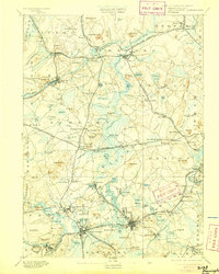
1905 edition
15.8 x 19.8 inches
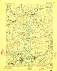
1908 edition
15.8 x 19.8 inches
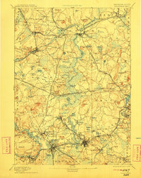
1911 edition
15.8 x 19.9 inches
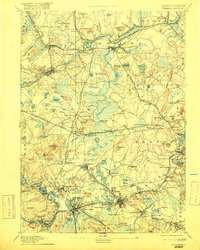
1917 edition
15.8 x 19.7 inches
1922 edition
16.6 x 20.07 inches
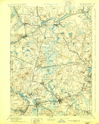
1929 edition
15.8 x 19.8 inches
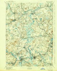
1938 edition
15.8 x 19.6 inches
Other maps of this area

1886 · Lawrence
USGS Topo · 1:62,500

1886 · Blackstone
USGS Topo · 1:62,500

1886 · Dedham
USGS Topo · 1:62,500

1886 · Lowell
USGS Topo · 1:62,500

1886 · Framingham
USGS Topo · 1:62,500

1887 · Franklin
USGS Topo · 1:62,500

1887 · Marlboro
USGS Topo · 1:62,500

1888 · Lawrence
USGS Topo · 1:62,500

1889 · Marlboro
USGS Topo · 1:62,500

1889 · Blackstone
USGS Topo · 1:62,500