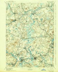
1894 Map of Framingham
USGS Topo · Published 1938About this map
South Framingham and Natick emerge as significant rail junctions in this late 19th-century landscape, where the Boston and Albany Railroad and the Old Colony Railroad intersect. The map illustrates a region in transition, balancing established town centers like Concord and Sudbury Center with industrial and state interests, such as the American Powder Co. in Maynard and the State Prison near Westvale.
Find a feature on this map
167 named features on this map. Tap any name to fly to it.
Don’t see what you’re looking for? This feature index may not catch every label — zoom into the map to look around manually.
Map Details
Editions of this 1894 Framingham Map
11 editions found

1894 edition
15.8 x 20.1 inches
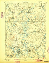
1900 edition
15.8 x 20.1 inches
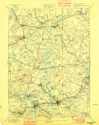
1901 edition
15.8 x 19.9 inches
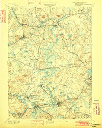
1902 edition
15.8 x 19.9 inches
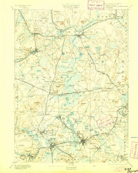
1905 edition
15.8 x 19.8 inches
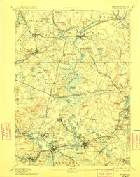
1908 edition
15.8 x 19.8 inches
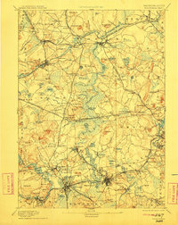
1911 edition
15.8 x 19.9 inches
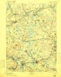
1917 edition
15.8 x 19.7 inches
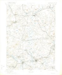
1922 edition
16.6 x 20.07 inches
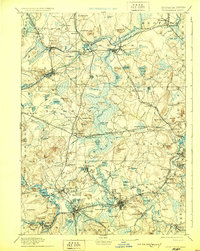
1929 edition
15.8 x 19.8 inches
1938 edition
15.8 x 19.6 inches
Other maps of this area

1886 · Lawrence
USGS Topo · 1:62,500

1886 · Blackstone
USGS Topo · 1:62,500

1886 · Dedham
USGS Topo · 1:62,500

1886 · Lowell
USGS Topo · 1:62,500

1886 · Framingham
USGS Topo · 1:62,500

1887 · Franklin
USGS Topo · 1:62,500

1887 · Marlboro
USGS Topo · 1:62,500

1888 · Lawrence
USGS Topo · 1:62,500

1889 · Marlboro
USGS Topo · 1:62,500

1889 · Blackstone
USGS Topo · 1:62,500