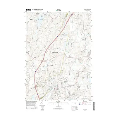
2015 Map of Hudson
USGS Topo · Published 2015About this map
Hudson and the industrial village of Gleasondale are established along the winding Assabet River in this 2015 study of the Middlesex and Worcester County borderlands. The landscape is defined by its transition from manufacturing centers to glacial hill formations like Rattlesnake Hill and Vaughn Hills. The area's transportation history is evident in the Assabet River Rail Trl, which repurposes the former rail corridor that once served local industry.
Find a feature on this map
91 named features on this map. Tap any name to fly to it.
Don’t see what you’re looking for? This feature index may not catch every label — zoom into the map to look around manually.
Map Details
Editions of this 2015 Hudson Map
This is the sole edition of this map. No revisions or reprints were ever made.
Other maps of this area

1886 · Lowell
USGS Topo · 1:62,500

1886 · Framingham
USGS Topo · 1:62,500

1887 · Marlboro
USGS Topo · 1:62,500

1889 · Marlboro
USGS Topo · 1:62,500

1889 · Framingham
USGS Topo · 1:62,500

1893 · Lowell
USGS Topo · 1:62,500

1893 · Groton
USGS Topo · 1:62,500

1894 · Framingham
USGS Topo · 1:62,500

1896 · Marlboro
USGS Topo · 1:62,500

1898 · Marlboro
USGS Topo · 1:62,500