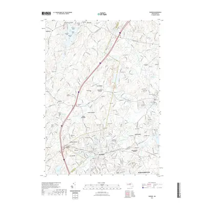
2021 Map of Hudson
USGS Topo · Published 2021About this map
Hudson and its surrounding villages are defined by a complex network of conservation lands and modern recreational trails that follow the paths of historical industry. The Assabet River Rail Trl and Mass Central/Wayside Rail Trl trace the corridors where railroads once powered local manufacturing, connecting the town center to nearby Gleasondale. The landscape is dotted with long-standing recreational sites like Camp Resolute and Camp Virginia, nestled between numerous glacial landforms such as Rattlesnake Hill and Spectacle Hill.
Find a feature on this map
82 named features on this map. Tap any name to fly to it.
Don’t see what you’re looking for? This feature index may not catch every label — zoom into the map to look around manually.
Map Details
Editions of this 2021 Hudson Map
This is the sole edition of this map. No revisions or reprints were ever made.
Other maps of this area

1886 · Lowell
USGS Topo · 1:62,500

1886 · Framingham
USGS Topo · 1:62,500

1887 · Marlboro
USGS Topo · 1:62,500

1889 · Marlboro
USGS Topo · 1:62,500

1889 · Framingham
USGS Topo · 1:62,500

1893 · Lowell
USGS Topo · 1:62,500

1893 · Groton
USGS Topo · 1:62,500

1894 · Framingham
USGS Topo · 1:62,500

1896 · Marlboro
USGS Topo · 1:62,500

1898 · Marlboro
USGS Topo · 1:62,500