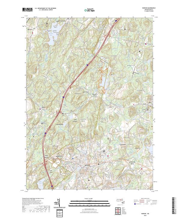
2024 Map of Hudson
USGS Topo · Published 2024About this map
The Hudson and Bolton area, straddling the border of Worcester and Middlesex counties, is defined by a complex network of multi-use pathways and preserved wetlands. Modern transit corridors like I-495 bisect the landscape, while legacy routes are preserved as the Assabet River Rail Trl and the Mass Central/Wayside Rail Trl. These rail trails follow the historical movement of industry along the Assabet River, connecting the urban center of Hudson to the outlying settlements of Gleasondale and South Bolton.
Find a feature on this map
88 named features on this map. Tap any name to fly to it.
Don’t see what you’re looking for? This feature index may not catch every label — zoom into the map to look around manually.
Map Details
Editions of this 2024 Hudson Map
This is the sole edition of this map. No revisions or reprints were ever made.
Other maps of this area

1886 · Lowell
USGS Topo · 1:62,500

1886 · Framingham
USGS Topo · 1:62,500

1887 · Marlboro
USGS Topo · 1:62,500

1889 · Marlboro
USGS Topo · 1:62,500

1889 · Framingham
USGS Topo · 1:62,500

1893 · Lowell
USGS Topo · 1:62,500

1893 · Groton
USGS Topo · 1:62,500

1894 · Framingham
USGS Topo · 1:62,500

1896 · Marlboro
USGS Topo · 1:62,500

1898 · Marlboro
USGS Topo · 1:62,500