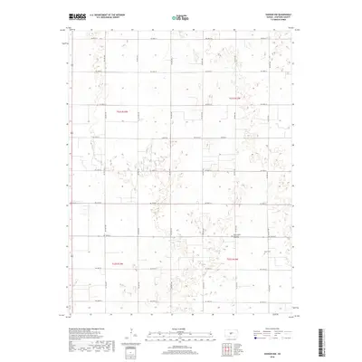
2018 Map of Hudson NW
USGS Topo · Published 2018About this map
The agricultural landscape of Stafford County is defined here by a precise grid of rural corridors and scattered landmarks of faith and remembrance. Centered around the intersection of NE 40th Ave and NE 140th St, the area features the Peace United Church of Christ and its adjacent Peace United Church of Christ Cem. This cluster serves as a significant focal point for local history and genealogy research in an otherwise sparsely populated section of the Kansas plains. To the east, Salem Cem sits along NE 60th Ave, further marking the legacy of the early families who settled these townships. The map illustrates a highly organized section-line road network, including Larned Rd, which facilitates transit between these remote homesteads and larger community centers.
Find a feature on this map
23 named features on this map. Tap any name to fly to it.
Don’t see what you’re looking for? This feature index may not catch every label — zoom into the map to look around manually.
Map Details
Editions of this 2018 Hudson NW Map
This is the sole edition of this map. No revisions or reprints were ever made.
Other maps of this area

1891 · Great Bend
USGS Topo · 1:125,000

1893 · Great Bend
USGS Topo · 1:125,000

1955 · Great Bend
USGS Topo · 1:250,000

1957 · Great Bend
USGS Topo · 1:250,000

1957 · Ellinwood SW
USGS Topo · 1:24,000

1957 · Ellinwood
USGS Topo · 1:24,000

1958 · Great Bend
USGS Topo · 1:250,000

1958 · Great Bend
USGS Topo · 1:24,000
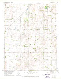
1970 · Hudson NW
USGS Topo · 1:24,000
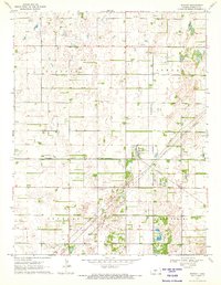
1970 · Seward
USGS Topo · 1:24,000