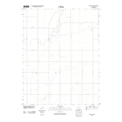
2009 Map of Hudson SE
USGS Topo · Published 2009About this map
Rattlesnake Creek and Peace Creek define the low-lying prairie hydrology of this Stafford County landscape. The map reveals a strictly regulated section-line road network, including thoroughfares such as NE 100th St and NE 70th Ave, which partition the agricultural terrain into precise geometric blocks. For genealogists and local historians, the Strobe Cemetery near NE 60th St serves as a significant landmark, marking the long-established presence of farming families in the region. The drainage patterns of the two creeks illustrate the subtle elevation shifts typical of the Central Kansas plains, where small depressions and intermittent water flow dictate the placement of rural homesites and fields.
Find a feature on this map
15 named features on this map. Tap any name to fly to it.
Don’t see what you’re looking for? This feature index may not catch every label — zoom into the map to look around manually.
Map Details
Editions of this 2009 Hudson SE Map
This is the sole edition of this map. No revisions or reprints were ever made.
Other maps of this area

1891 · Great Bend
USGS Topo · 1:125,000

1892 · Kingman
USGS Topo · 1:125,000

1892 · Pratt
USGS Topo · 1:125,000

1893 · Great Bend
USGS Topo · 1:125,000

1894 · Kingman
USGS Topo · 1:125,000

1894 · Pratt
USGS Topo · 1:125,000

1894 · Lyons
USGS Topo · 1:125,000

1955 · Great Bend
USGS Topo · 1:250,000

1955 · Pratt
USGS Topo · 1:250,000

1957 · Great Bend
USGS Topo · 1:250,000