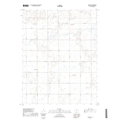
2018 Map of Hudson SE
USGS Topo · Published 2018About this map
Rattlesnake Cr and Peace Cr meander through this section of the Kansas prairie in Stafford County, shaping a landscape defined by seasonal wetlands and a meticulous grid of rural roads. The area is anchored by the Strobe Cem along NE 60th St, a primary point of interest for genealogists tracing early families in the region. The map illustrates a highly organized township system, with major thoroughfares like Hudson Rd and S Sterling Rd providing the backbone for agricultural transit. This 2018 survey by the U.S. Geological Survey reveals how modern land use continues to follow the historical section lines, preserving a century-old spatial logic even as farming technology evolves.
Find a feature on this map
17 named features on this map. Tap any name to fly to it.
Don’t see what you’re looking for? This feature index may not catch every label — zoom into the map to look around manually.
Map Details
Editions of this 2018 Hudson SE Map
This is the sole edition of this map. No revisions or reprints were ever made.
Other maps of this area

1891 · Great Bend
USGS Topo · 1:125,000

1892 · Kingman
USGS Topo · 1:125,000

1892 · Pratt
USGS Topo · 1:125,000

1893 · Great Bend
USGS Topo · 1:125,000

1894 · Kingman
USGS Topo · 1:125,000

1894 · Pratt
USGS Topo · 1:125,000

1894 · Lyons
USGS Topo · 1:125,000

1955 · Great Bend
USGS Topo · 1:250,000

1955 · Pratt
USGS Topo · 1:250,000

1957 · Great Bend
USGS Topo · 1:250,000