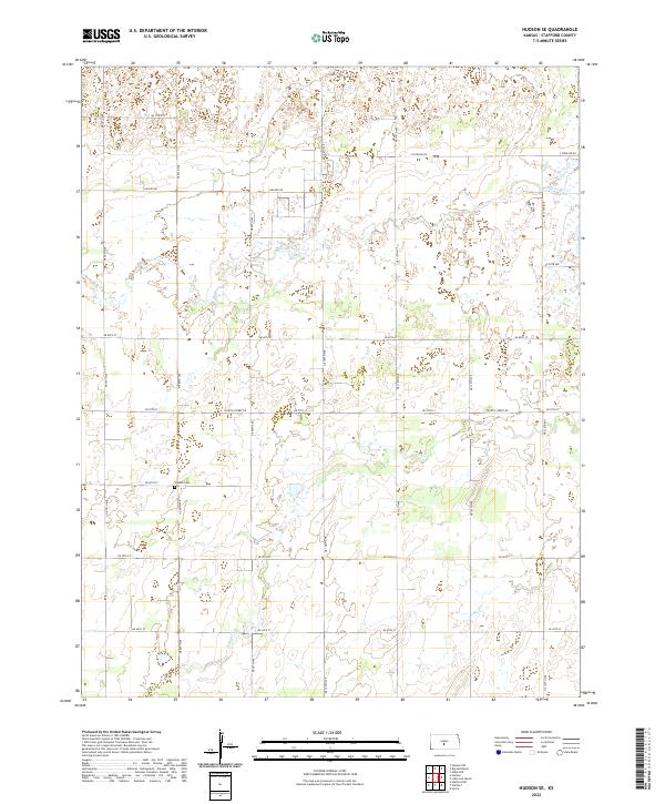
2022 Map of Hudson SE
USGS Topo · Published 2022About this map
Strobel Cem stands as a quiet landmark in this section of Stafford County, situated just north of NE 60th St. The landscape is defined by the subtle, winding courses of Rattlesnake Cr and Peace Cr, which thread through the prairie terrain. The land is organized by a precise grid of rural roads such as NE 70th Ave and Hudson Rd, reflecting the enduring agricultural character of central Kansas. Large areas of wetlands are scattered throughout the quadrangle, particularly near the creek beds, indicating a complex hydrology that dictates the placement of farmsteads and transport routes. This survey provides a clear view of the rural infrastructure, from the principal Fourth Street Rd to the more remote section lines that have shaped the region since the earliest settlements.
Find a feature on this map
23 named features on this map. Tap any name to fly to it.
Don’t see what you’re looking for? This feature index may not catch every label — zoom into the map to look around manually.
Map Details
Editions of this 2022 Hudson SE Map
This is the sole edition of this map. No revisions or reprints were ever made.
Other maps of this area

1891 · Great Bend
USGS Topo · 1:125,000

1892 · Kingman
USGS Topo · 1:125,000

1892 · Pratt
USGS Topo · 1:125,000

1893 · Great Bend
USGS Topo · 1:125,000

1894 · Kingman
USGS Topo · 1:125,000

1894 · Pratt
USGS Topo · 1:125,000

1894 · Lyons
USGS Topo · 1:125,000

1955 · Great Bend
USGS Topo · 1:250,000

1955 · Pratt
USGS Topo · 1:250,000

1957 · Great Bend
USGS Topo · 1:250,000