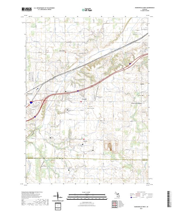
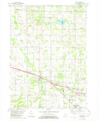
2023 Map of Hudsonville West
USGS Topo · Published 2023About this map
Beaverdam and Drenthe anchor this detailed landscape in western Michigan, where agriculture and early settlement patterns are clearly visible through a high concentration of community burial grounds. Genealogists can trace local lineages at the Van Dam Family Cem or the Scottish Presbyterian Cem, while the distinction between the Old Vriesland Cem and the newer Vriesland Cem points to the evolution of these small crossroads communities. The Macatawa River and its various tributaries, including the South Branch Macatawa River and Brower Drain, shape the drainage of the area south of Zeeland. Modern infrastructure is represented by the Ottawa Executive Airport and Curt's Place Airport, contrasting with the more traditional footprints of Zutphen and Forest Grove Station.
Find a feature on this map
50 named features on this map. Tap any name to fly to it.
Don’t see what you’re looking for? This feature index may not catch every label — zoom into the map to look around manually.
Map Details
Editions of this 2023 Hudsonville West Map
This is the sole edition of this map. No revisions or reprints were ever made.
Historical Maps of Zeeland Charter Township Through Time
14 maps found
1972 Borculo
Ottawa County, MI
1972 Holland East
Ottawa County, MI
1972 Holland West
Ottawa County, MI
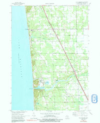
1972 Port Sheldon
Ottawa County, MI
1980 Hudsonville East
Ottawa County, MI
1980 Hudsonville West
Ottawa County, MI
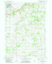
1980 Marne
Ottawa County, MI
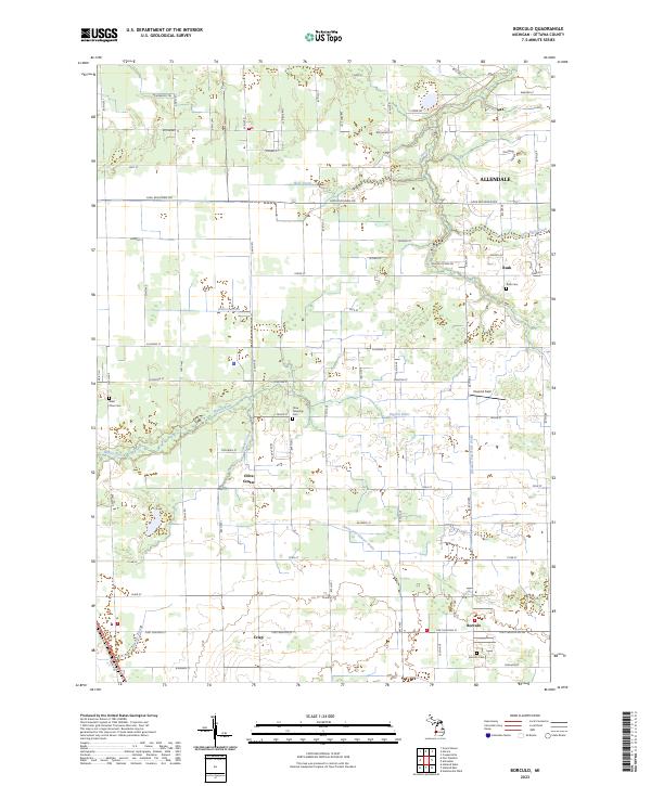
2023 Borculo
Ottawa County, MI
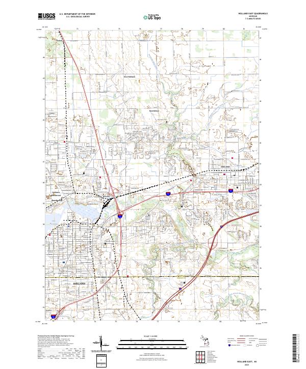
2023 Holland East
Ottawa County, MI
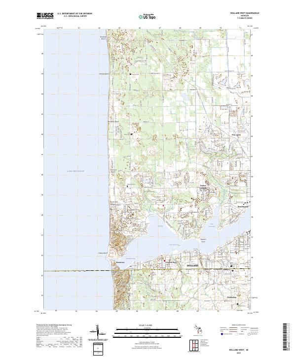
2023 Holland West
Ottawa County, MI
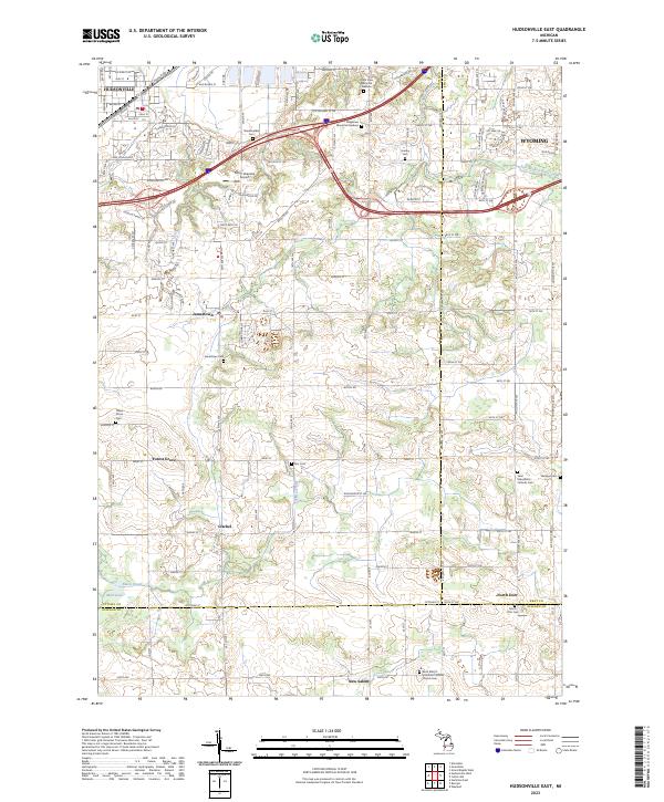
2023 Hudsonville East
Ottawa County, MI
2023 Hudsonville West
Ottawa County, MI
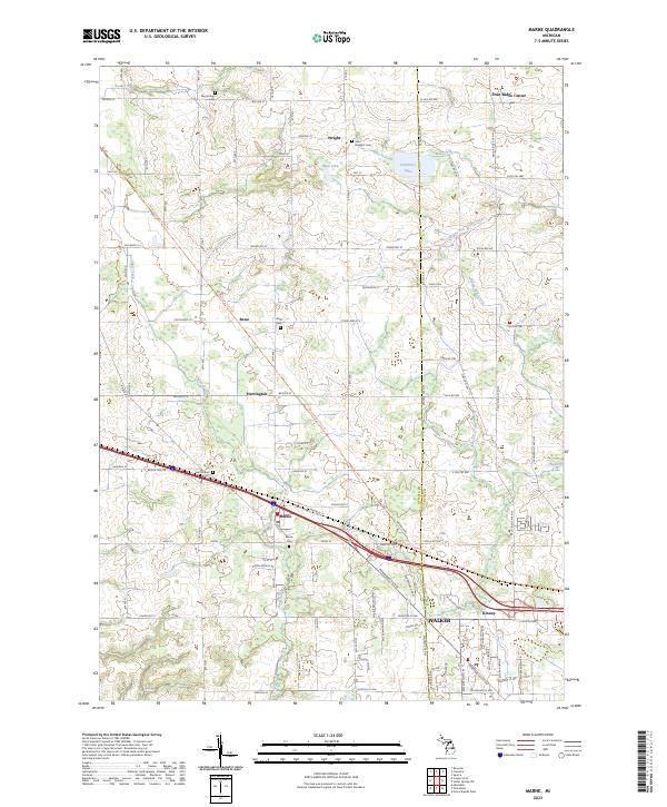
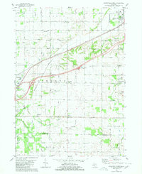
2023 Marne
Ottawa County, MI
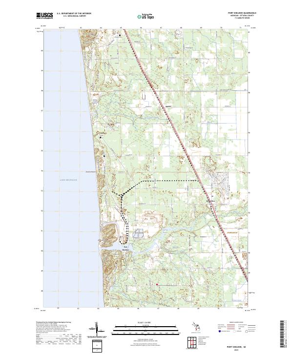
2023 Port Sheldon
Ottawa County, MI