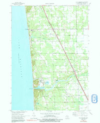
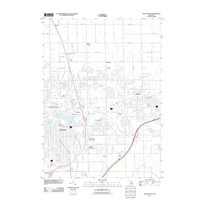
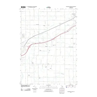
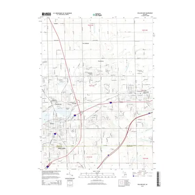
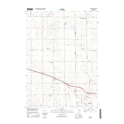
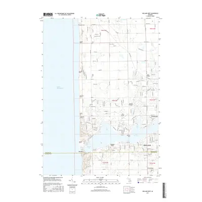
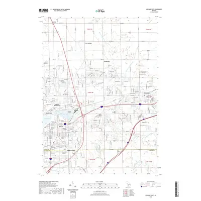
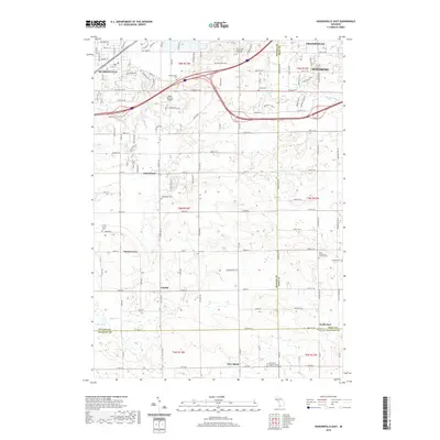
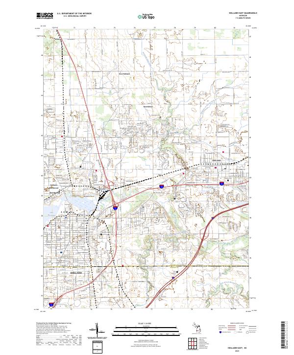
1972 Map of Holland East
USGS Topo · Published 1991About this map
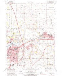
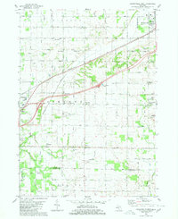
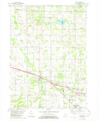
Holland and Zeeland anchor this 1970s landscape, a region defined by its Dutch heritage and the busy navigation of Lake Macatawa. The map reveals the scholarly and religious heart of the area, featuring the campus of Hope College and the Western Theological Seminary near the city center. The industrial and infrastructure backbone is evident through the Chesapeake and Ohio railroad corridors and the extensive Overisel Oil Field spanning the southern border into Overisel Township.
Find a feature on this map
75 named features on this map. Tap any name to fly to it.
Don’t see what you’re looking for? This feature index may not catch every label — zoom into the map to look around manually.
Map Details
Editions of this 1972 Holland East Map
2 editions found
Historical Maps of Holland Through Time
42 maps found
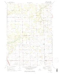
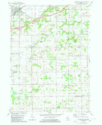
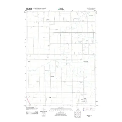
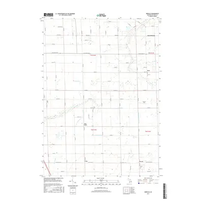
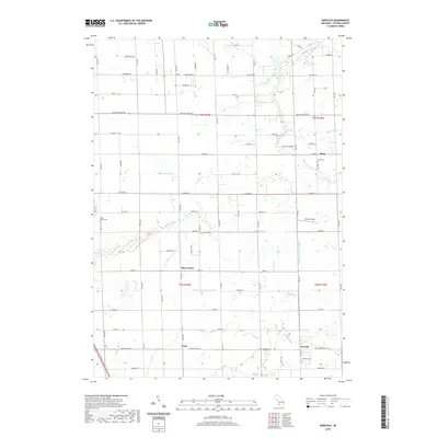
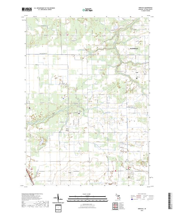
1972 Borculo
Ottawa County, MI
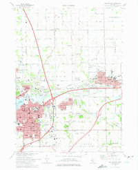
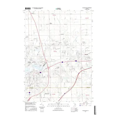
1972 Holland East
Ottawa County, MI
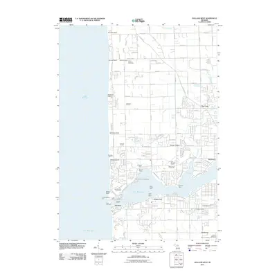
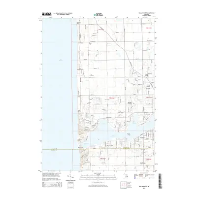
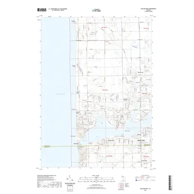
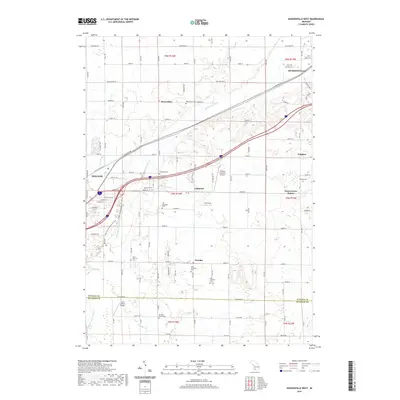
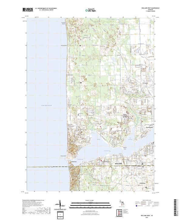
1972 Holland West
Ottawa County, MI
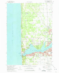
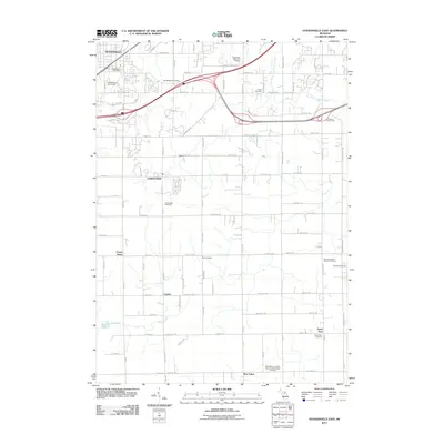
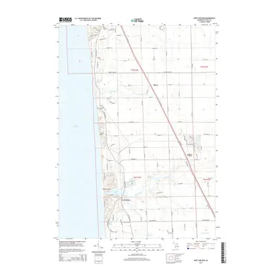
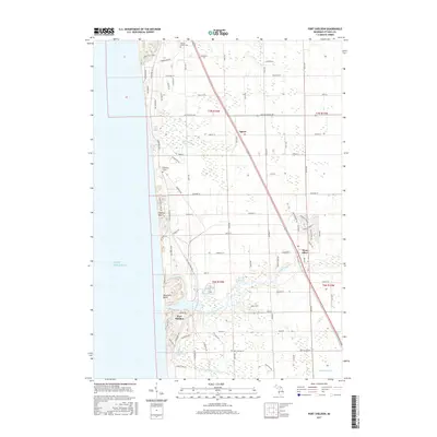
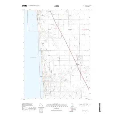
1972 Port Sheldon
Ottawa County, MI
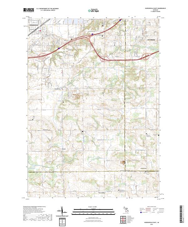
1980 Hudsonville East
Ottawa County, MI
1980 Hudsonville West
Ottawa County, MI
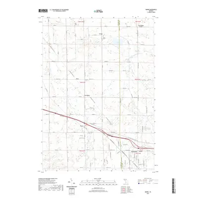
1980 Marne
Ottawa County, MI
2011 Borculo
Ottawa County, MI
2011 Holland East
Ottawa County, MI
2011 Holland West
Ottawa County, MI
2011 Hudsonville East
Ottawa County, MI
2011 Hudsonville West
Ottawa County, MI
2011 Marne
Ottawa County, MI
2011 Port Sheldon
Ottawa County, MI
2014 Borculo
Ottawa County, MI
2014 Holland East
Ottawa County, MI
2014 Holland West
Ottawa County, MI
2014 Hudsonville East
Ottawa County, MI
2014 Hudsonville West
Ottawa County, MI
2014 Marne
Ottawa County, MI
2014 Port Sheldon
Ottawa County, MI
2017 Borculo
Ottawa County, MI
2017 Holland East
Ottawa County, MI
2017 Holland West
Ottawa County, MI
2017 Hudsonville East
Ottawa County, MI
2017 Hudsonville West
Ottawa County, MI
2017 Marne
Ottawa County, MI
2017 Port Sheldon
Ottawa County, MI
2019 Borculo
Ottawa County, MI
2019 Holland East
Ottawa County, MI
2019 Holland West
Ottawa County, MI
2019 Hudsonville East
Ottawa County, MI
2019 Hudsonville West
Ottawa County, MI
2019 Marne
Ottawa County, MI
2019 Port Sheldon
Ottawa County, MI
2023 Borculo
Ottawa County, MI
2023 Holland East
Ottawa County, MI
2023 Holland West
Ottawa County, MI
2023 Hudsonville East
Ottawa County, MI
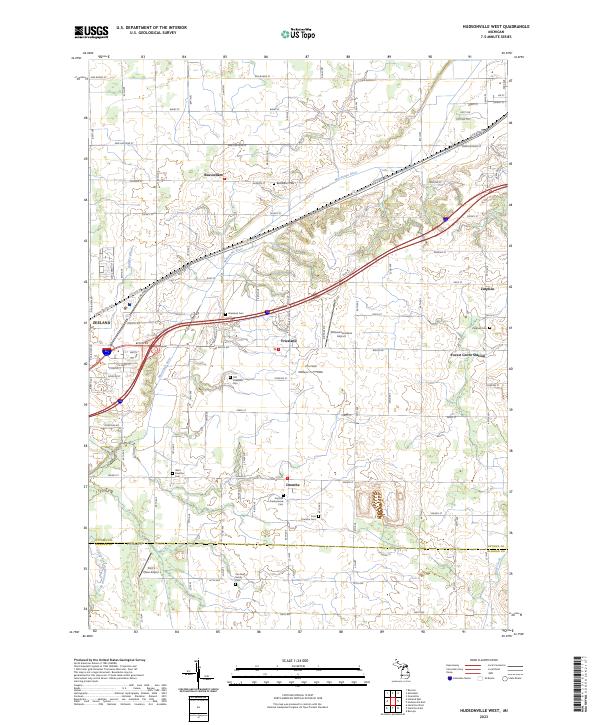
2023 Hudsonville West
Ottawa County, MI
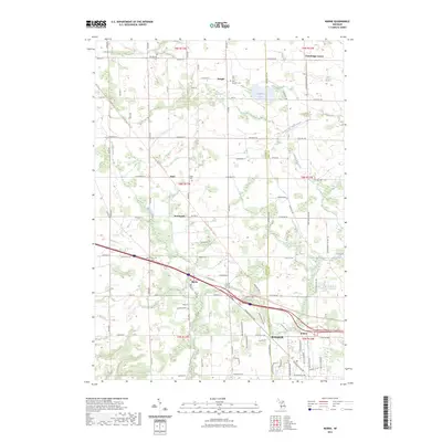
2023 Marne
Ottawa County, MI
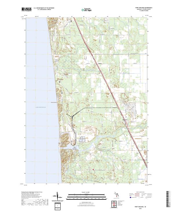
2023 Port Sheldon
Ottawa County, MI