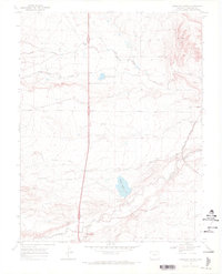
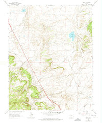
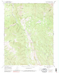
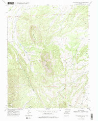
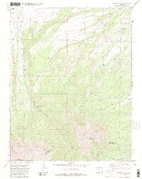
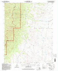
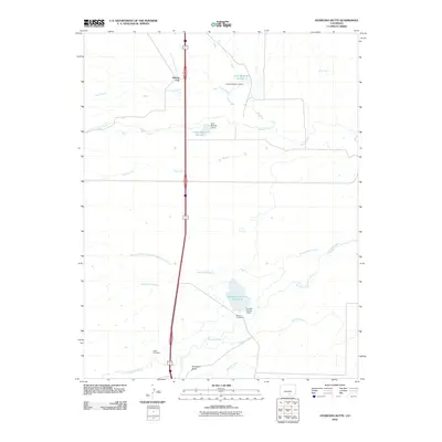
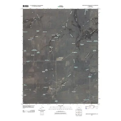
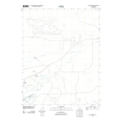
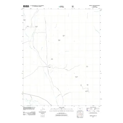
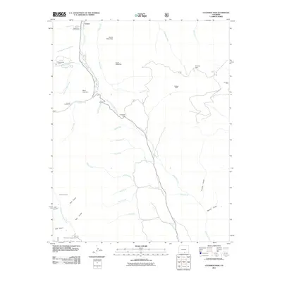
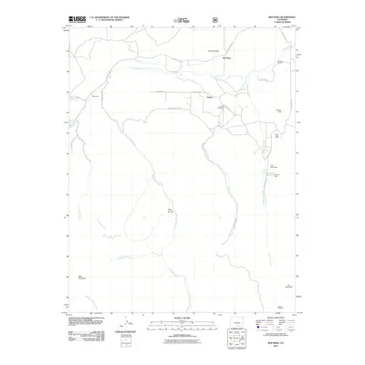
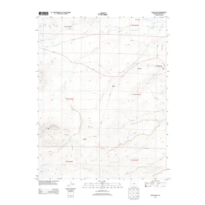
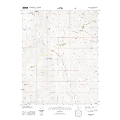
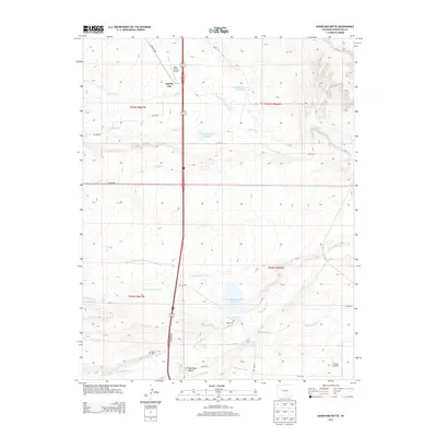
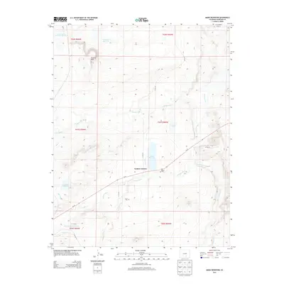
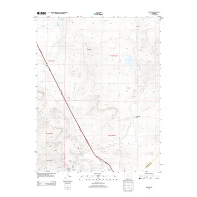
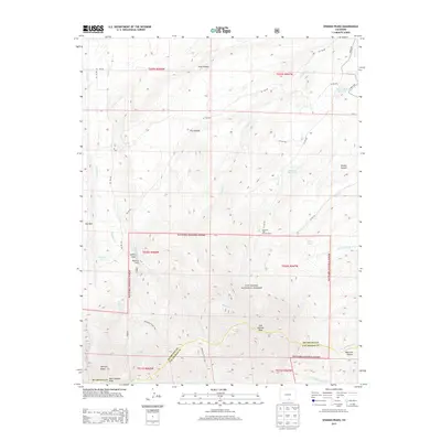
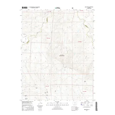
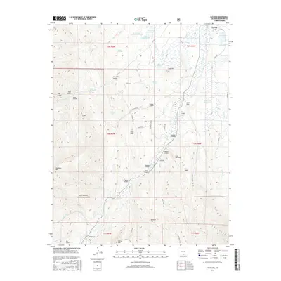
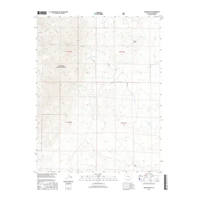
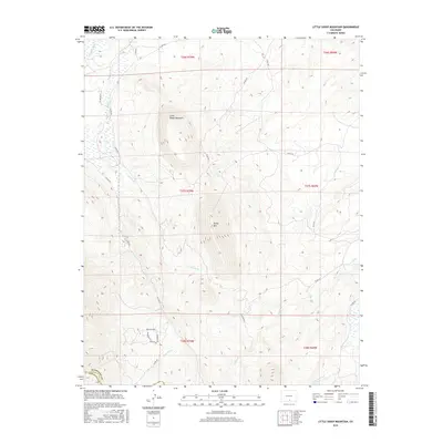
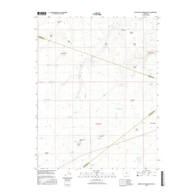
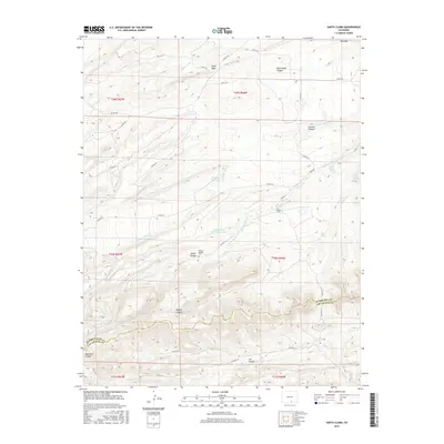
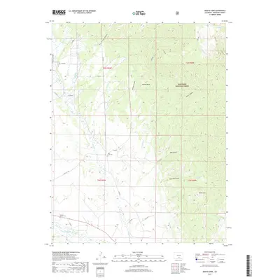
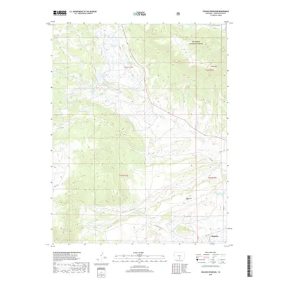
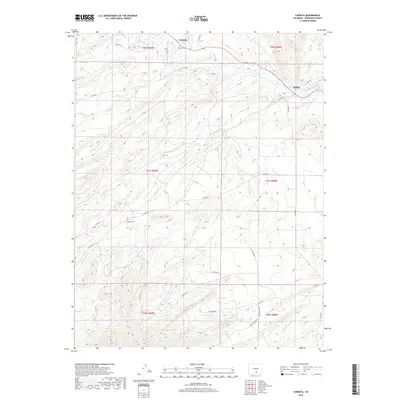
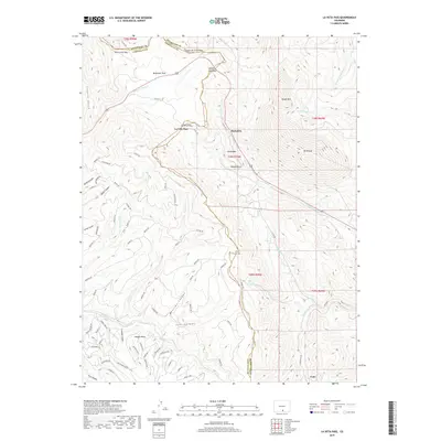
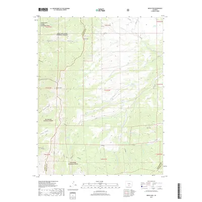
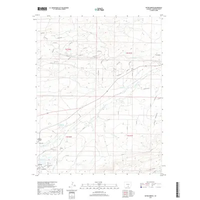
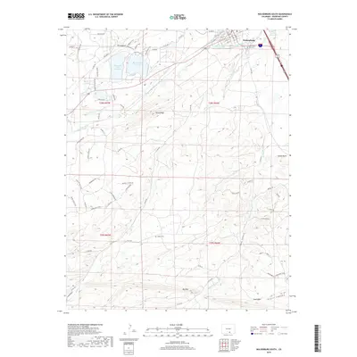
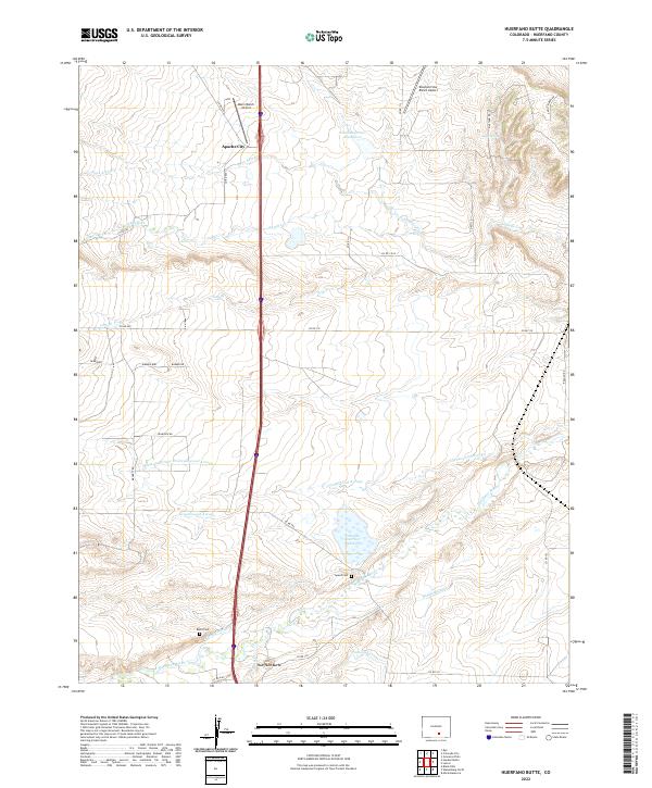
1969 Map of Huerfano Butte
USGS Topo · Published 1972About this map
The eponymous Huerfano Butte stands as a prominent volcanic landmark in this semi-arid landscape during the late 1960s. The area is defined by its water management systems, notably the Orlando Ditch and Homestead Canal, which move water from the Huerfano River to support the local agricultural economy. Small settlements and rural infrastructure are scattered across the terrain, including Apache City and the nearby Apache Creek.
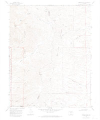
Find a feature on this map
19 named features on this map. Tap any name to fly to it.
Don’t see what you’re looking for? This feature index may not catch every label — zoom into the map to look around manually.
Map Details
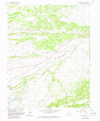
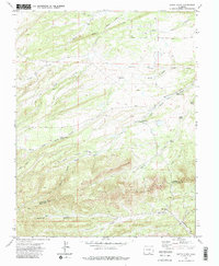
Editions of this 1969 Huerfano Butte Map
This is the sole edition of this map. No revisions or reprints were ever made.
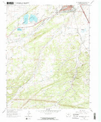
Historical Maps of Apache City Through Time
164 maps found

1889 Huerfano Park
Huerfano County, CO
1892 Huerfano Park
Huerfano County, CO

1963 Black Hills
Huerfano County, CO
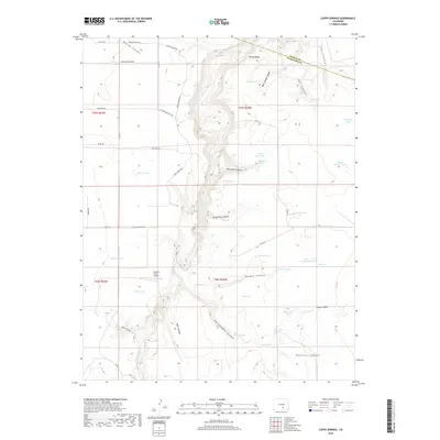
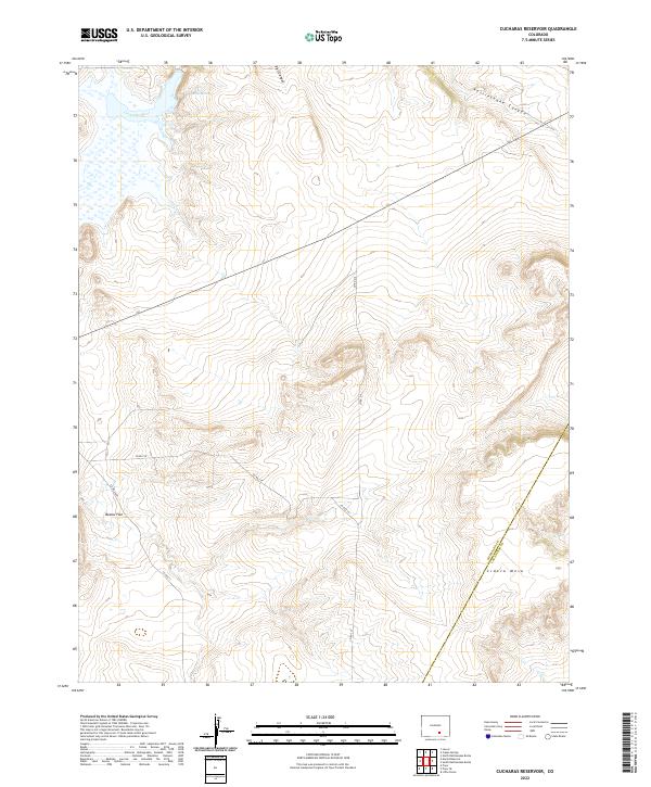
1963 Cuchara
Huerfano County, CO

1963 La Veta Pass
Huerfano County, CO
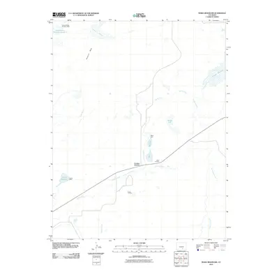
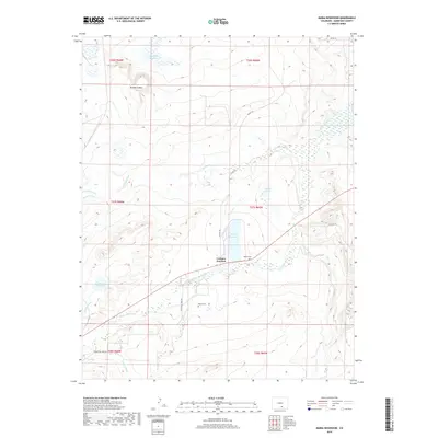
1963 Maria Reservoir
Huerfano County, CO
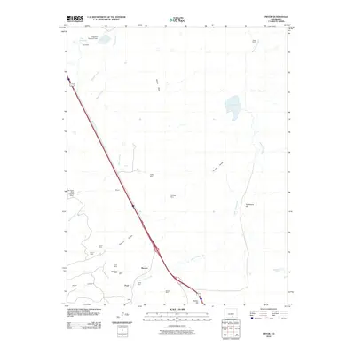
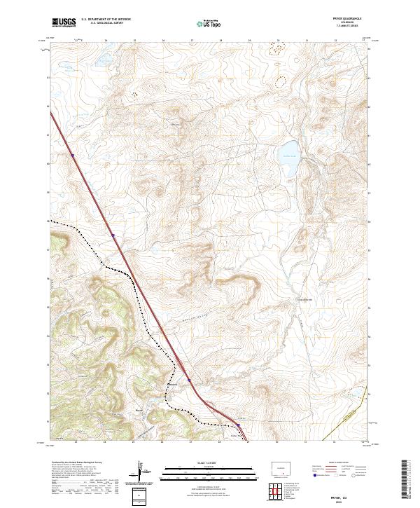
1963 Pryor
Huerfano County, CO
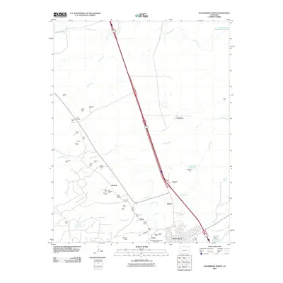
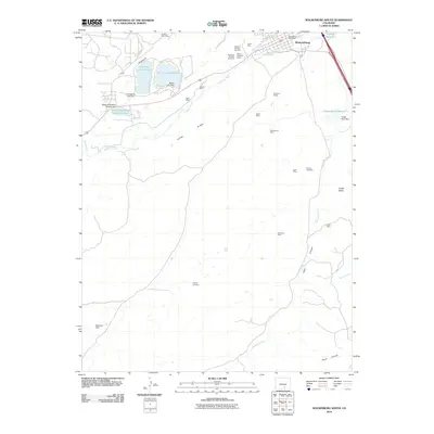
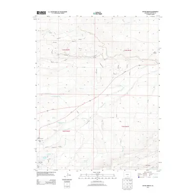
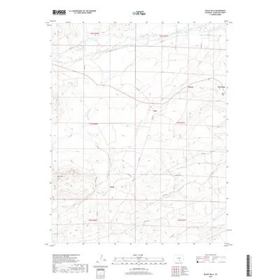
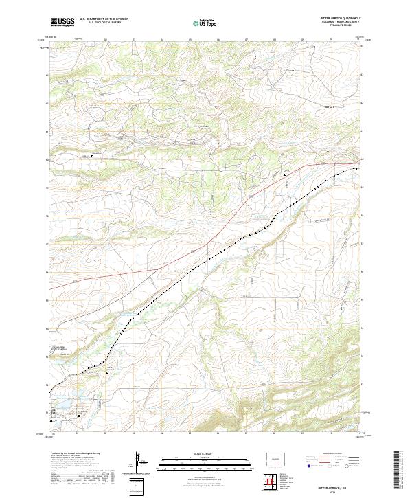
1963 Ritter Arroyo
Huerfano County, CO

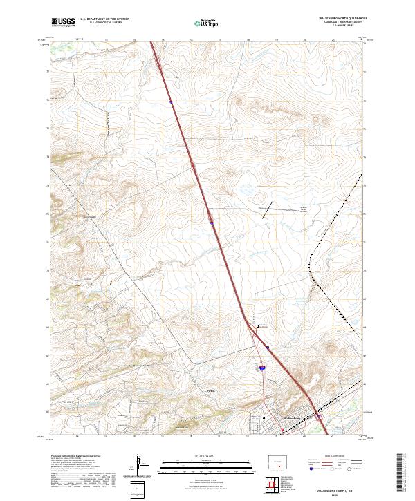
1963 Walsenburg North
Huerfano County, CO
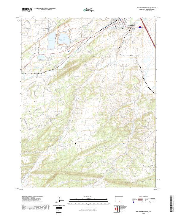
1963 Walsenburg South
Huerfano County, CO
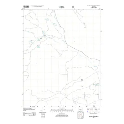
1967 Creager Reservoir
Huerfano County, CO

1967 Cuchara
Huerfano County, CO
1967 Cucharas Pass
Huerfano County, CO
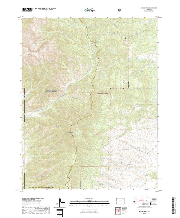
1967 Medano Pass
Huerfano County, CO

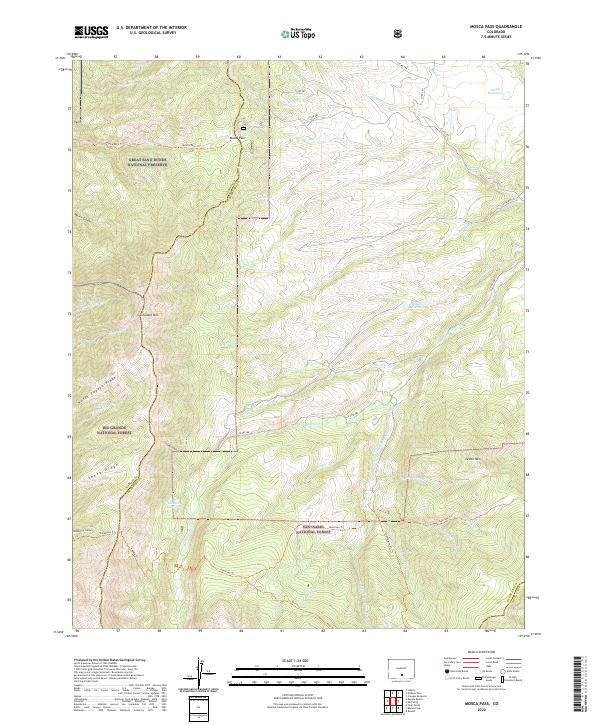
1967 Mosca Pass
Huerfano County, CO

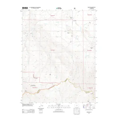
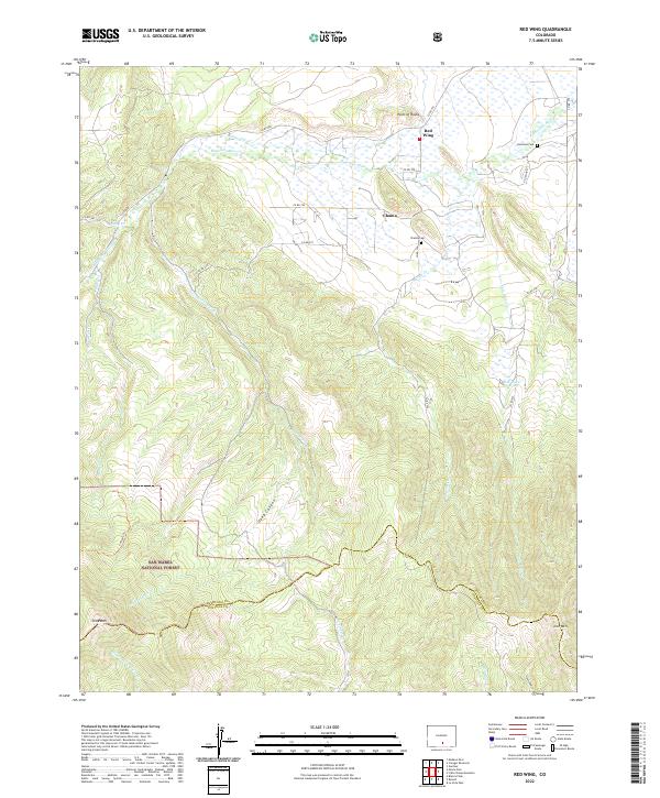
1967 Red Wing
Huerfano County, CO
1969 Badito Cone
Huerfano County, CO

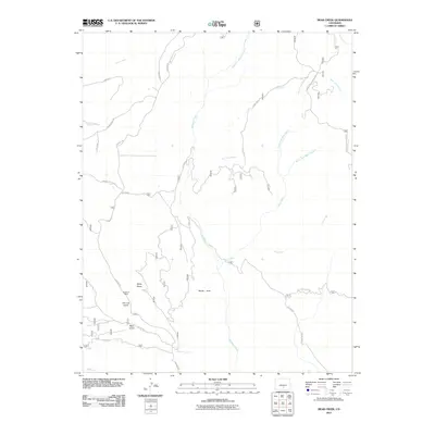
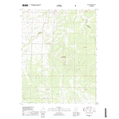
1969 Bear Creek
Huerfano County, CO

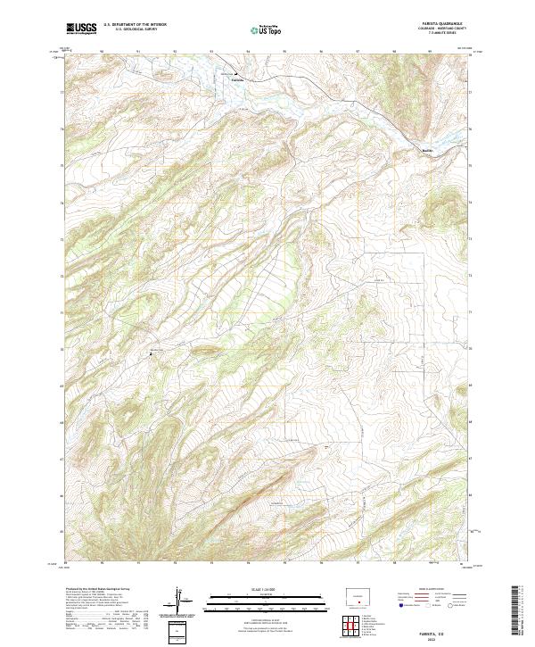
1969 Farisita
Huerfano County, CO
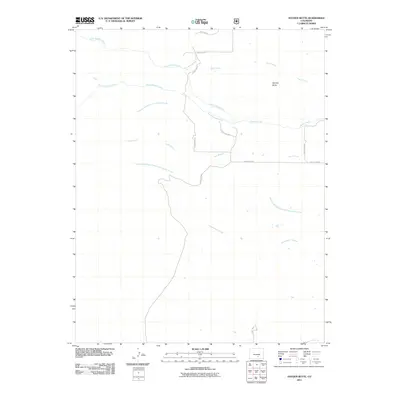
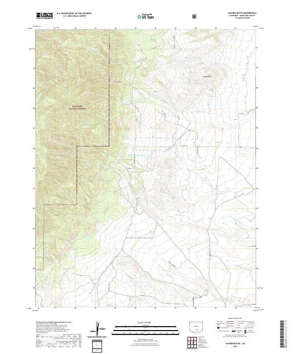
1969 Hayden Butte
Huerfano County, CO
1969 Huerfano Butte
Huerfano County, CO
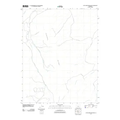
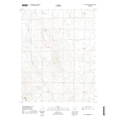
1969 Little Sheep Mountain
Huerfano County, CO
1970 Capps Springs
Huerfano County, CO

1970 Cucharas Reservoir
Huerfano County, CO
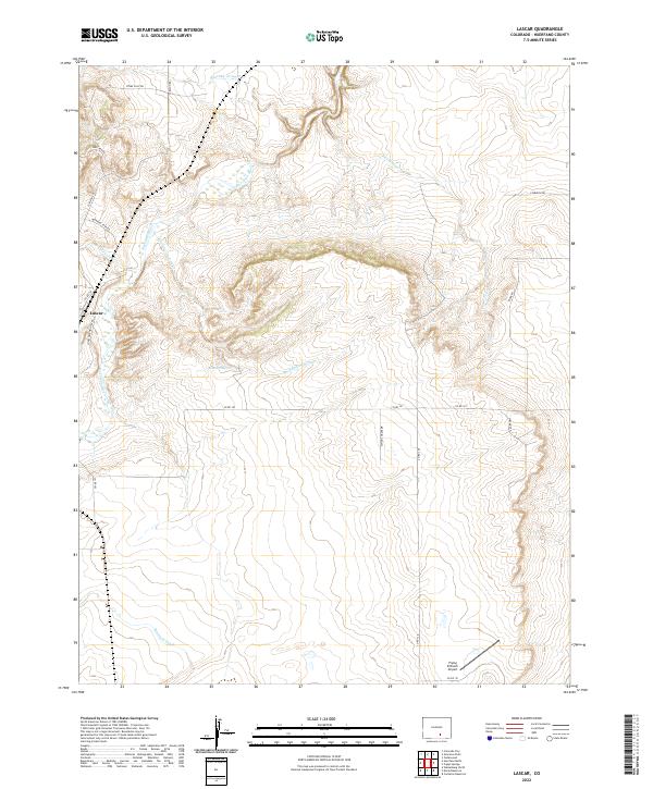
1970 Lascar
Huerfano County, CO
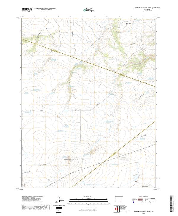
1971 North Rattlesnake Butte
Huerfano County, CO
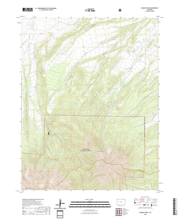
1971 Spanish Peaks
Huerfano County, CO
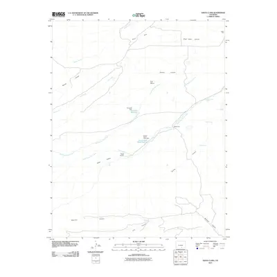
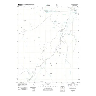
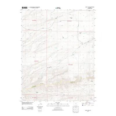
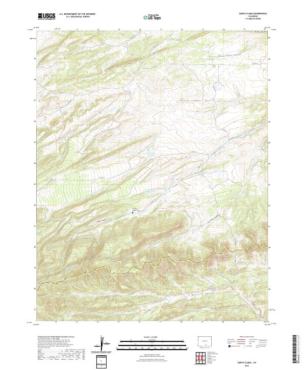
1972 Santa Clara
Huerfano County, CO

1982 Blanca Peak
Huerfano County, CO
1994 Badito Cone
Huerfano County, CO

1994 Bear Creek
Huerfano County, CO
1994 Creager Reservoir
Huerfano County, CO

1994 Cuchara
Huerfano County, CO

1994 Cucharas Pass
Huerfano County, CO
1994 Hayden Butte
Huerfano County, CO

1994 Spanish Peaks
Huerfano County, CO

2001 Medano Pass
Huerfano County, CO

2001 Mosca Pass
Huerfano County, CO

2001 Red Wing
Huerfano County, CO
2010 Black Hills
Huerfano County, CO
2010 Capps Springs
Huerfano County, CO
2010 Cucharas Reservoir
Huerfano County, CO
2010 Farisita
Huerfano County, CO
2010 Huerfano Butte
Huerfano County, CO
2010 Lascar
Huerfano County, CO
2010 La Veta Pass
Huerfano County, CO
2010 Little Sheep Mountain
Huerfano County, CO
2010 Maria Reservoir
Huerfano County, CO
2010 North Rattlesnake Butte
Huerfano County, CO
2010 Pryor
Huerfano County, CO
2010 Ritter Arroyo
Huerfano County, CO
2010 Santa Clara
Huerfano County, CO
2010 Walsenburg North
Huerfano County, CO
2010 Walsenburg South
Huerfano County, CO
2011 Badito Cone
Huerfano County, CO
2011 Bear Creek
Huerfano County, CO
2011 Creager Reservoir
Huerfano County, CO
2011 Cuchara
Huerfano County, CO
2011 Cucharas Pass
Huerfano County, CO
2011 Hayden Butte
Huerfano County, CO
2011 Medano Pass
Huerfano County, CO
2011 Mosca Pass
Huerfano County, CO
2011 Red Wing
Huerfano County, CO
2011 Spanish Peaks
Huerfano County, CO
2013 Badito Cone
Huerfano County, CO
2013 Bear Creek
Huerfano County, CO
2013 Black Hills
Huerfano County, CO
2013 Capps Springs
Huerfano County, CO
2013 Creager Reservoir
Huerfano County, CO
2013 Cuchara
Huerfano County, CO
2013 Cucharas Pass
Huerfano County, CO
2013 Cucharas Reservoir
Huerfano County, CO
2013 Farisita
Huerfano County, CO
2013 Hayden Butte
Huerfano County, CO
2013 Huerfano Butte
Huerfano County, CO
2013 Lascar
Huerfano County, CO
2013 La Veta Pass
Huerfano County, CO
2013 Little Sheep Mountain
Huerfano County, CO
2013 Maria Reservoir
Huerfano County, CO
2013 Medano Pass
Huerfano County, CO
2013 Mosca Pass
Huerfano County, CO
2013 North Rattlesnake Butte
Huerfano County, CO
2013 Pryor
Huerfano County, CO
2013 Red Wing
Huerfano County, CO
2013 Ritter Arroyo
Huerfano County, CO
2013 Santa Clara
Huerfano County, CO
2013 Spanish Peaks
Huerfano County, CO
2013 Walsenburg North
Huerfano County, CO
2013 Walsenburg South
Huerfano County, CO
2016 Badito Cone
Huerfano County, CO
2016 Bear Creek
Huerfano County, CO
2016 Black Hills
Huerfano County, CO
2016 Capps Springs
Huerfano County, CO
2016 Creager Reservoir
Huerfano County, CO
2016 Cuchara
Huerfano County, CO
2016 Cucharas Pass
Huerfano County, CO
2016 Cucharas Reservoir
Huerfano County, CO
2016 Farisita
Huerfano County, CO
2016 Hayden Butte
Huerfano County, CO
2016 Huerfano Butte
Huerfano County, CO
2016 Lascar
Huerfano County, CO
2016 La Veta Pass
Huerfano County, CO
2016 Little Sheep Mountain
Huerfano County, CO
2016 Maria Reservoir
Huerfano County, CO
2016 Medano Pass
Huerfano County, CO
2016 Mosca Pass
Huerfano County, CO
2016 North Rattlesnake Butte
Huerfano County, CO
2016 Pryor
Huerfano County, CO
2016 Red Wing
Huerfano County, CO
2016 Ritter Arroyo
Huerfano County, CO
2016 Santa Clara
Huerfano County, CO
2016 Spanish Peaks
Huerfano County, CO
2016 Walsenburg North
Huerfano County, CO
2016 Walsenburg South
Huerfano County, CO
2019 Badito Cone
Huerfano County, CO
2019 Bear Creek
Huerfano County, CO
2019 Black Hills
Huerfano County, CO
2019 Capps Springs
Huerfano County, CO
2019 Creager Reservoir
Huerfano County, CO
2019 Cuchara
Huerfano County, CO
2019 Cucharas Pass
Huerfano County, CO
2019 Cucharas Reservoir
Huerfano County, CO
2019 Farisita
Huerfano County, CO
2019 Hayden Butte
Huerfano County, CO
2019 Huerfano Butte
Huerfano County, CO
2019 Lascar
Huerfano County, CO
2019 La Veta Pass
Huerfano County, CO
2019 Little Sheep Mountain
Huerfano County, CO
2019 Maria Reservoir
Huerfano County, CO
2019 Medano Pass
Huerfano County, CO
2019 Mosca Pass
Huerfano County, CO
2019 North Rattlesnake Butte
Huerfano County, CO
2019 Pryor
Huerfano County, CO
2019 Red Wing
Huerfano County, CO
2019 Ritter Arroyo
Huerfano County, CO
2019 Santa Clara
Huerfano County, CO
2019 Spanish Peaks
Huerfano County, CO
2019 Walsenburg North
Huerfano County, CO
2019 Walsenburg South
Huerfano County, CO
2022 Badito Cone
Huerfano County, CO
2022 Bear Creek
Huerfano County, CO
2022 Black Hills
Huerfano County, CO
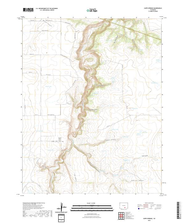
2022 Capps Springs
Huerfano County, CO
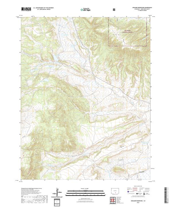
2022 Creager Reservoir
Huerfano County, CO
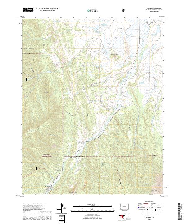
2022 Cuchara
Huerfano County, CO
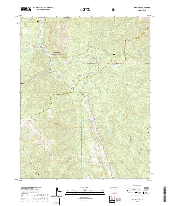
2022 Cucharas Pass
Huerfano County, CO
2022 Cucharas Reservoir
Huerfano County, CO
2022 Farisita
Huerfano County, CO
2022 Hayden Butte
Huerfano County, CO
2022 Huerfano Butte
Huerfano County, CO
2022 Lascar
Huerfano County, CO
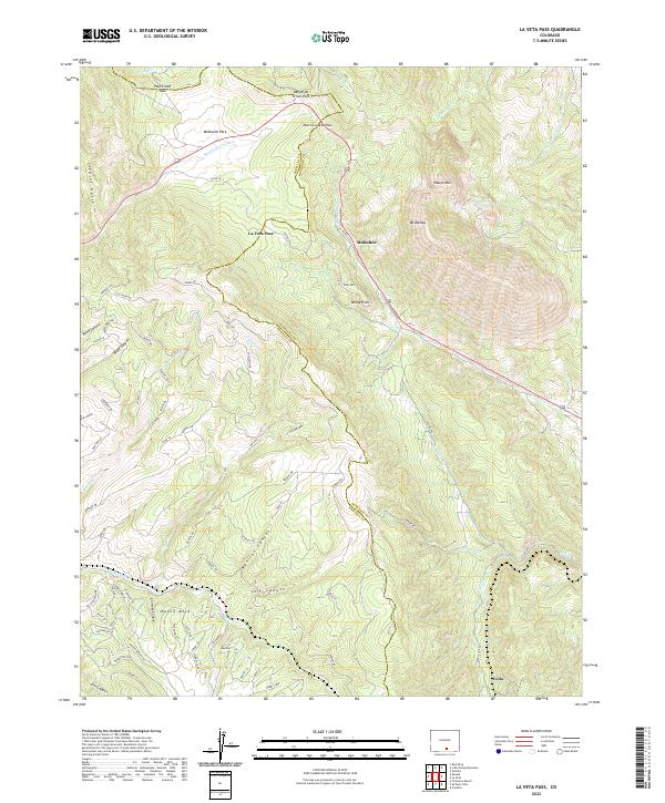
2022 La Veta Pass
Huerfano County, CO
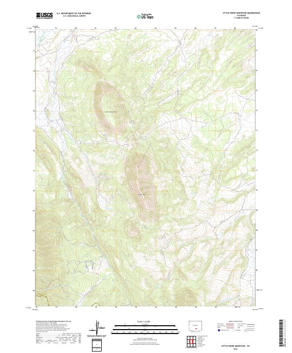
2022 Little Sheep Mountain
Huerfano County, CO
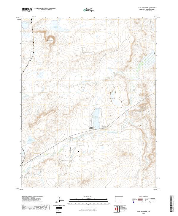
2022 Maria Reservoir
Huerfano County, CO
2022 Medano Pass
Huerfano County, CO
2022 Mosca Pass
Huerfano County, CO
2022 North Rattlesnake Butte
Huerfano County, CO
2022 Pryor
Huerfano County, CO
2022 Red Wing
Huerfano County, CO
2022 Ritter Arroyo
Huerfano County, CO
2022 Santa Clara
Huerfano County, CO
2022 Spanish Peaks
Huerfano County, CO
2022 Walsenburg North
Huerfano County, CO
2022 Walsenburg South
Huerfano County, CO