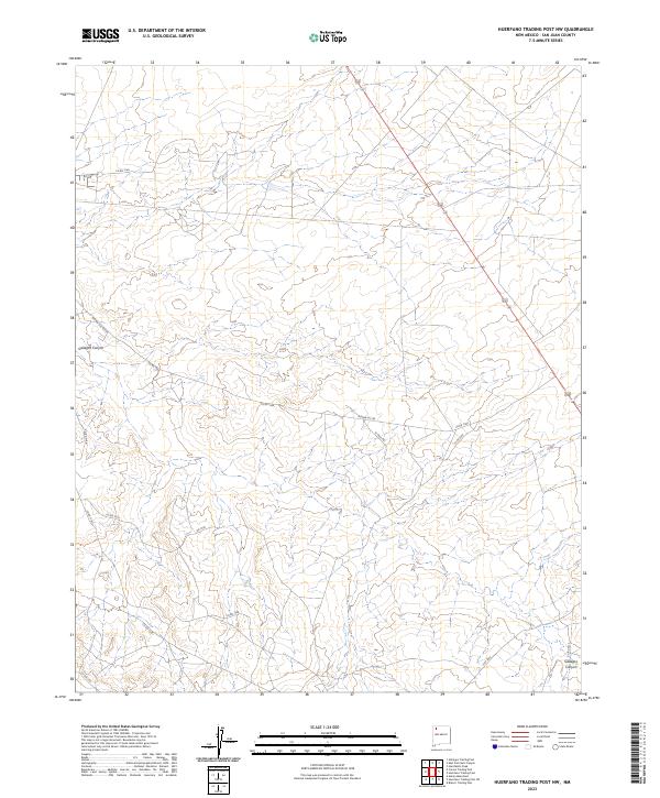
2023 Map of Huerfano Trading Post NW
USGS Topo · Published 2023About this map
Gallegos Canyon winds through this arid New Mexico landscape, defining the local topography south of the San Juan River. This 2023 U.S. Geological Survey representation documents a network of rural routes and service roads that crisscross the high plateau. The area is characterized by the intersection of administrative boundaries like t26n r11w and t26n r10w, where industrial and local transit paths meet. Numerous designated county roads, such as Co Rd 7165 and Co Rd 7300, provide access across the mesas and through the drainages. These routes, including Indian Svc Rte 44 and El Paso Rd, indicate the infrastructure required for land management and resource transport in this sparsely populated region of San Juan County. The drainage patterns and contour intervals show the intricate erosion of the desert floor, revealing the varied elevations of the Four Corners region.
Find a feature on this map
19 named features on this map. Tap any name to fly to it.
Don’t see what you’re looking for? This feature index may not catch every label — zoom into the map to look around manually.
Map Details
Editions of this 2023 Huerfano Trading Post NW Map
This is the sole edition of this map. No revisions or reprints were ever made.
Other maps of this area

1889 · Largo
USGS Topo · 1:250,000

1889 · Chaco
USGS Topo · 1:250,000

1892 · Chaco
USGS Topo · 1:250,000

1895 · Largo
USGS Topo · 1:250,000

1954 · Shiprock
USGS Topo · 1:250,000

1954 · Aztec
USGS Topo · 1:250,000

1958 · Shiprock
USGS Topo · 1:250,000

1958 · Aztec
USGS Topo · 1:250,000

1959 · Shiprock
USGS Topo · 1:250,000

1960 · Bloomfield
USGS Topo · 1:62,500