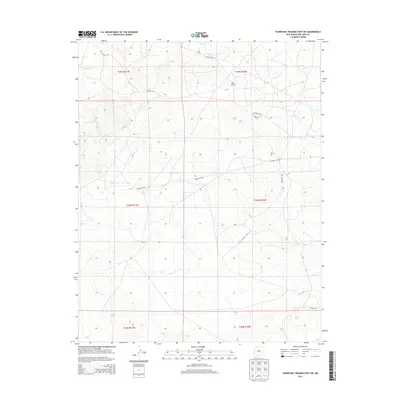
2013 Map of Huerfano Trading Post SW
USGS Topo · Published 2013About this map
Bisti Oil Field anchors the northern portion of this High Desert landscape in San Juan County, revealing the intersection of resource extraction and the drainage systems of the Eastern Navajo Agency. The terrain is defined by a series of significant ephemeral waterways, including the winding course of De-na-zin Wash and its tributaries, Willow Wash and Alamo Wash.
Find a feature on this map
16 named features on this map. Tap any name to fly to it.
Don’t see what you’re looking for? This feature index may not catch every label — zoom into the map to look around manually.
Map Details
Editions of this 2013 Huerfano Trading Post SW Map
This is the sole edition of this map. No revisions or reprints were ever made.
Other maps of this area

1889 · Largo
USGS Topo · 1:250,000

1889 · Chaco
USGS Topo · 1:250,000

1892 · Chaco
USGS Topo · 1:250,000

1895 · Largo
USGS Topo · 1:250,000

1954 · Shiprock
USGS Topo · 1:250,000

1954 · Aztec
USGS Topo · 1:250,000

1958 · Shiprock
USGS Topo · 1:250,000

1958 · Aztec
USGS Topo · 1:250,000

1959 · Shiprock
USGS Topo · 1:250,000

1962 · Aztec
USGS Topo · 1:250,000