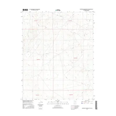
2017 Map of Huerfano Trading Post SW
USGS Topo · Published 2017About this map
De-na-zin Wash and Alamo Wash define the drainage patterns of this high-desert landscape in San Juan County, New Mexico. The terrain is marked by a network of local connectors and tribal routes, such as Co Rd 7515 and Co Rd 7610, which trace the arid valleys between mesa formations. These roads provide the primary access through the Eastern Navajo Agency lands, connecting remote homesteads and grazing areas. The map reveals the intricate contouring of the New Mexico badlands, where seasonal watercourses like Willow Wash have carved through the sedimentary layers. This 2017 survey by the U.S. Geological Survey captures the modern alignment of infrastructure like Is Rt 7023, essential for navigating this expansive territory where traditional land use and contemporary transportation intersect.
Find a feature on this map
16 named features on this map. Tap any name to fly to it.
Don’t see what you’re looking for? This feature index may not catch every label — zoom into the map to look around manually.
Map Details
Editions of this 2017 Huerfano Trading Post SW Map
This is the sole edition of this map. No revisions or reprints were ever made.
Other maps of this area

1889 · Largo
USGS Topo · 1:250,000

1889 · Chaco
USGS Topo · 1:250,000

1892 · Chaco
USGS Topo · 1:250,000

1895 · Largo
USGS Topo · 1:250,000

1954 · Shiprock
USGS Topo · 1:250,000

1954 · Aztec
USGS Topo · 1:250,000

1958 · Shiprock
USGS Topo · 1:250,000

1958 · Aztec
USGS Topo · 1:250,000

1959 · Shiprock
USGS Topo · 1:250,000

1962 · Aztec
USGS Topo · 1:250,000