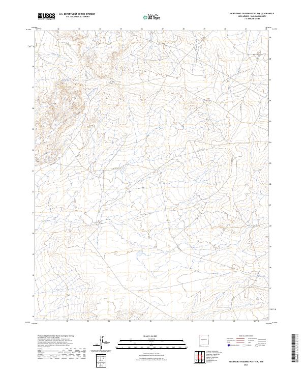
2023 Map of Huerfano Trading Post SW
USGS Topo · Published 2023About this map
Bisti/De-na-zin Wilderness dominates the western portion of this San Juan County landscape, preserving a terrain defined by ancient geological formations and drainage systems. The area is etched by significant watercourses including Willow Wash in the north and the central Alamo Wash, which feed into the larger De-na-zin Wash system. This 2023 survey illustrates the modern configuration of the high desert plateau, showing how local roads like Co Rd 7530 and Co Rd 7610 navigate the complex topography. While largely devoid of permanent settlements, the map provides a precise look at the township and range grid system across T24N and T25N, reflecting the Bureau of Land Management’s ongoing oversight of these expansive public lands and their ephemeral waterways.
Find a feature on this map
17 named features on this map. Tap any name to fly to it.
Don’t see what you’re looking for? This feature index may not catch every label — zoom into the map to look around manually.
Map Details
Editions of this 2023 Huerfano Trading Post SW Map
This is the sole edition of this map. No revisions or reprints were ever made.
Other maps of this area

1889 · Largo
USGS Topo · 1:250,000

1889 · Chaco
USGS Topo · 1:250,000

1892 · Chaco
USGS Topo · 1:250,000

1895 · Largo
USGS Topo · 1:250,000

1954 · Shiprock
USGS Topo · 1:250,000

1954 · Aztec
USGS Topo · 1:250,000

1958 · Shiprock
USGS Topo · 1:250,000

1958 · Aztec
USGS Topo · 1:250,000

1959 · Shiprock
USGS Topo · 1:250,000

1962 · Aztec
USGS Topo · 1:250,000