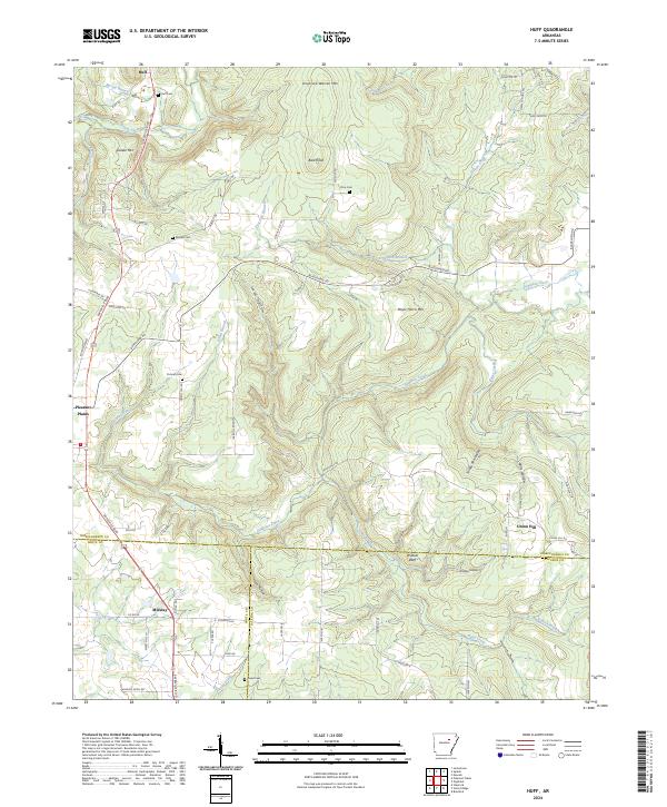
2024 Map of Huff
USGS Topo · Published 2024About this map
Huff and the surrounding rural communities of Pleasant Plains and Midway anchor this landscape along the border of Independence, White, and Jackson counties. The terrain is defined by a series of prominent peaks and deep hollows, including Salado Mtn, Uncle Joe Warren Mtn, and the distinctive Bald Knob. Family history and genealogy are central to this area, as evidenced by several scattered burial grounds such as Huff Cem, Riddles Cem, and Putman Cem.
Find a feature on this map
82 named features on this map. Tap any name to fly to it.
Don’t see what you’re looking for? This feature index may not catch every label — zoom into the map to look around manually.
Map Details
Editions of this 2024 Huff Map
This is the sole edition of this map. No revisions or reprints were ever made.
Other maps of this area

1890 · Batesville
USGS Topo · 1:125,000

1891 · Batesville
USGS Topo · 1:125,000

1935 · Newport
USGS Topo · 1:62,500

1935 · Augusta
USGS Topo · 1:62,500

1935 · Bald Knob
USGS Topo · 1:62,500

1942 · Jamestown
USGS Topo · 1:31,680

1942 · Salado
USGS Topo · 1:31,680

1953 · Memphis
USGS Topo · 1:250,000

1956 · Memphis
USGS Topo · 1:250,000
1956 · Newark
USGS Topo · 1:24,000