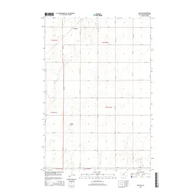
2015 Map of Huffton
USGS Topo · Published 2015About this map
Huffton sits at the intersection of a vast grid of section-line roads in this Brown County landscape. The geography is defined by the strict geometry of the Public Land Survey System, where townships like t125n r60w and t124n r61w organize the prairie into precise agricultural blocks. A significant modern landmark, the Groton Municipal Airport, occupies a portion of the southern territory, while a network of rural routes including 406th Ave and 122nd St provides the primary infrastructure for the area. The map illustrates a rural South Dakota environment where land management and aviation facilities coexist within a traditional midwestern farming framework.
Find a feature on this map
24 named features on this map. Tap any name to fly to it.
Don’t see what you’re looking for? This feature index may not catch every label — zoom into the map to look around manually.
Map Details
Editions of this 2015 Huffton Map
This is the sole edition of this map. No revisions or reprints were ever made.
Other maps of this area

1895 · Aberdeen
USGS Topo · 1:125,000

1896 · Columbia
USGS Topo · 1:125,000

1952 · Huffton
USGS Topo · 1:24,000

1952 · Putney
USGS Topo · 1:24,000

1953 · Milbank
USGS Topo · 1:250,000

1954 · Groton
USGS Topo · 1:24,000

1954 · James
USGS Topo · 1:24,000

1954 · Daly Corners
USGS Topo · 1:24,000

1954 · Aberdeen
USGS Topo · 1:250,000

1956 · Aberdeen
USGS Topo · 1:250,000