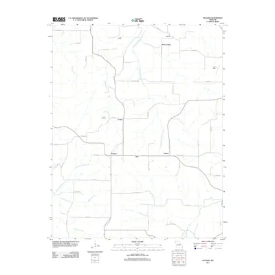
2011 Map of Huggins
USGS Topo · Published 2011About this map
The Huggins area of Texas County is defined by a network of rural settlements and headwater streams in the Missouri Ozarks. At this time in 2011, small communities such as Bendavis, Alice, and Fairview are connected by a grid of county roads and local routes including Huggins Rd and Fairview Rd. The landscape is etched by several significant watercourses, notably the West Fork Roubidoux Creek, which flows north toward the Gasconade drainage, and the North Fork Beaver Creek, which drains to the southwest. For genealogists and local historians, the map identifies specific family-named burial grounds like Tuttle Cemetery near Upton and White Cemetery west of Huggins. A Landing Strip located in the northeast quadrant near Highway FF indicates the continued utility of small-scale aviation in this sparsely populated region.
Find a feature on this map
44 named features on this map. Tap any name to fly to it.
Don’t see what you’re looking for? This feature index may not catch every label — zoom into the map to look around manually.
Map Details
Editions of this 2011 Huggins Map
This is the sole edition of this map. No revisions or reprints were ever made.
Other maps of this area

1931 · Manes
USGS Topo · 1:48,000

1941 · Manes
USGS Topo · 1:62,500

1941 · Bado
USGS Topo · 1:62,500

1943 · Manes
USGS Topo · 1:62,500

1943 · Bado
USGS Topo · 1:62,500

1951 · Mountain Grove North
USGS Topo · 1:24,000

1951 · Cabool NW
USGS Topo · 1:24,000

1951 · Cabool NE
USGS Topo · 1:24,000

1951 · Cabool
USGS Topo · 1:62,500

1951 · Mountain Grove
USGS Topo · 1:62,500