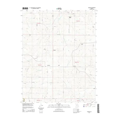
2015 Map of Huggins
USGS Topo · Published 2015About this map
The rugged drainage systems of W Fork Roubidoux Cr and the Little Piney River characterize this 2015 survey of the Texas and Wright County border. Small agricultural and residential clusters are scattered across the high ground between hollows, including the community of Huggins and the nearby White Cemetery. The landscape is a network of named ridges and hollows, such as Pleasant Ridge and Spurlock Hollow, which dictated the winding paths of local routes like Huggins Rd and Fairview Rd. Family names are preserved through landmarks like the Tuttle Cemetery and the Flying 'E' Airport in the northeast. This area remains largely rural, with the topography defining the settlement patterns at Bendavis, Alice, and Fairview, where the roads follow the natural contours of the Ozark plateau.
Find a feature on this map
58 named features on this map. Tap any name to fly to it.
Don’t see what you’re looking for? This feature index may not catch every label — zoom into the map to look around manually.
Map Details
Editions of this 2015 Huggins Map
This is the sole edition of this map. No revisions or reprints were ever made.
Other maps of this area

1931 · Manes
USGS Topo · 1:48,000

1941 · Manes
USGS Topo · 1:62,500

1941 · Bado
USGS Topo · 1:62,500

1943 · Manes
USGS Topo · 1:62,500

1943 · Bado
USGS Topo · 1:62,500

1951 · Mountain Grove North
USGS Topo · 1:24,000

1951 · Cabool NW
USGS Topo · 1:24,000

1951 · Cabool NE
USGS Topo · 1:24,000

1951 · Cabool
USGS Topo · 1:62,500

1951 · Mountain Grove
USGS Topo · 1:62,500