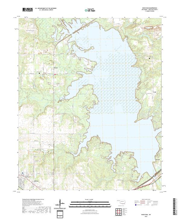
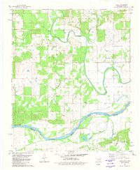
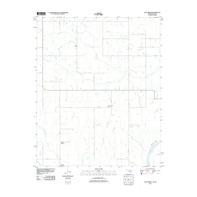
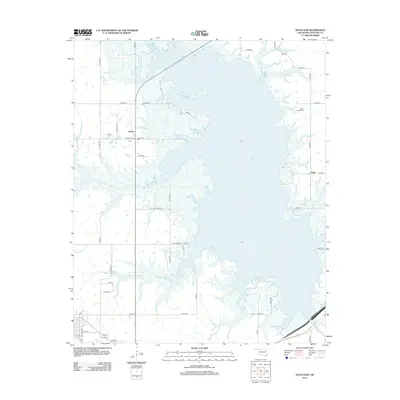
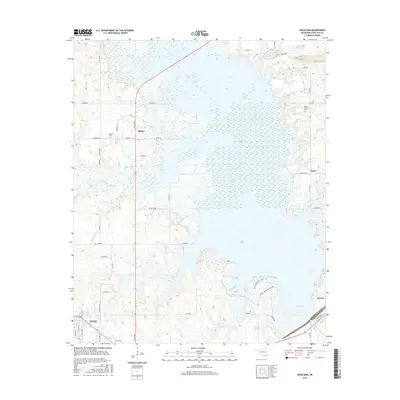
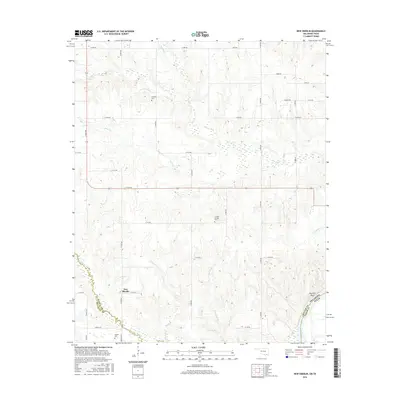
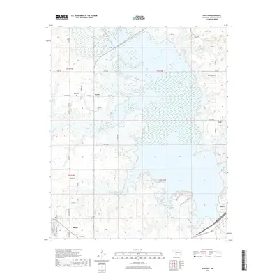
2022 Map of Hugo Dam
USGS Topo · Published 2022About this map
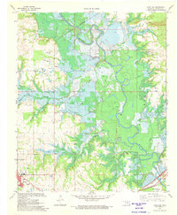
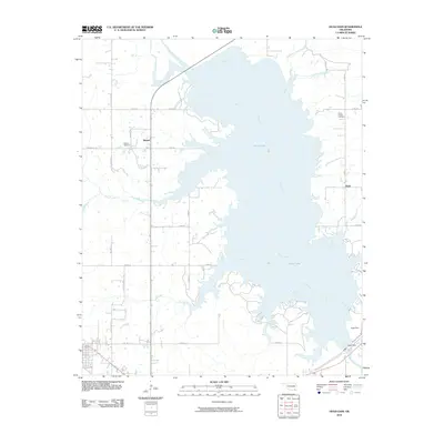
Hugo Lake dominates this Choctaw County landscape, created by the impoundment of the Kiamichi River. This 2022 survey captures the contemporary topography of the area, where the vast reservoir has altered the historical drainage patterns of tributaries like Salt Creek and Dixon Br. The settlement of Hugo anchors the southwestern corner of the map, featuring the Kiamichi Technology Center - Hugo Campus and a dense grid of residential streets including Mulberry St and Bois D Arc St.
Find a feature on this map
53 named features on this map. Tap any name to fly to it.
Don’t see what you’re looking for? This feature index may not catch every label — zoom into the map to look around manually.
Map Details
Editions of this 2022 Hugo Dam Map
This is the sole edition of this map. No revisions or reprints were ever made.
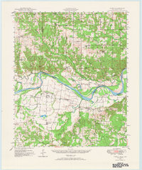
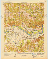
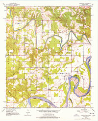
Historical Maps of Hugo Through Time
37 maps found
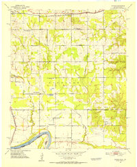
1948 Direct
Choctaw County, OK
1949 Direct
Choctaw County, OK
1951 Frogville
Choctaw County, OK
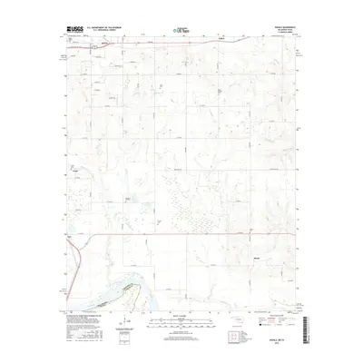
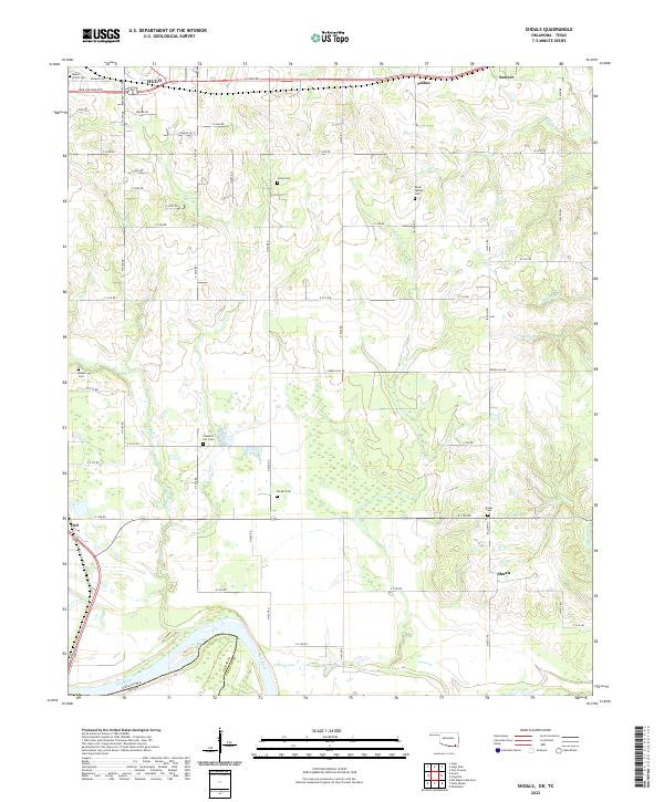
1951 Shoals
Choctaw County, OK
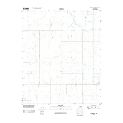
1969 Boswell SW
Choctaw County, OK
1971 Hugo Dam
Choctaw County, OK
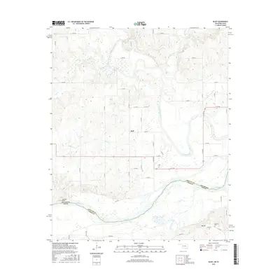
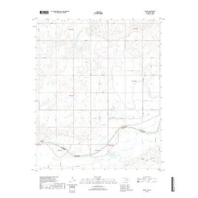
1980 Bluff
Choctaw County, OK
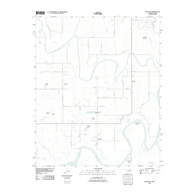
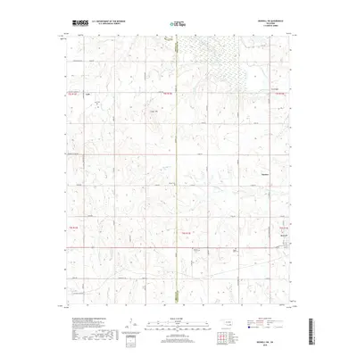
1980 New Oberlin
Choctaw County, OK
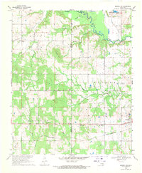
2009 Boswell SW
Choctaw County, OK
2010 Frogville
Choctaw County, OK
2010 Hugo Dam
Choctaw County, OK
2010 New Oberlin
Choctaw County, OK
2010 Shoals
Choctaw County, OK
2012 Bluff
Choctaw County, OK
2012 Boswell SW
Choctaw County, OK
2012 Frogville
Choctaw County, OK
2012 New Oberlin
Choctaw County, OK
2012 Shoals
Choctaw County, OK
2013 Hugo Dam
Choctaw County, OK
2016 Bluff
Choctaw County, OK
2016 Boswell SW
Choctaw County, OK
2016 Frogville
Choctaw County, OK
2016 Hugo Dam
Choctaw County, OK
2016 New Oberlin
Choctaw County, OK
2016 Shoals
Choctaw County, OK
2018 Bluff
Choctaw County, OK
2018 Boswell SW
Choctaw County, OK
2018 Frogville
Choctaw County, OK
2018 New Oberlin
Choctaw County, OK
2018 Shoals
Choctaw County, OK
2019 Hugo Dam
Choctaw County, OK
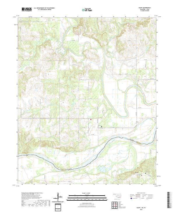
2022 Bluff
Choctaw County, OK
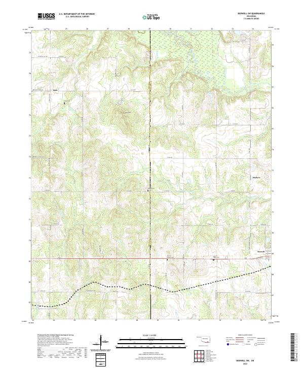
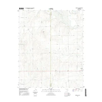
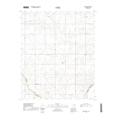
2022 Boswell SW
Choctaw County, OK
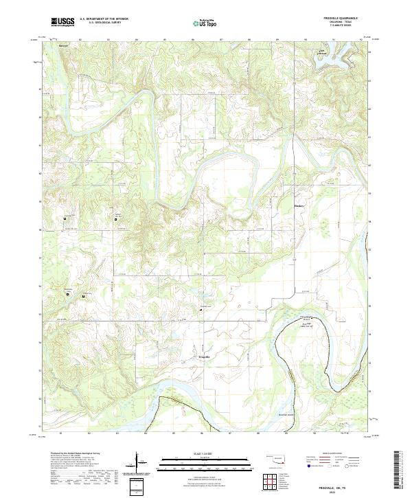
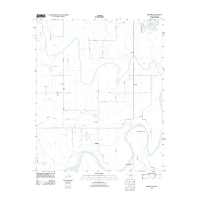
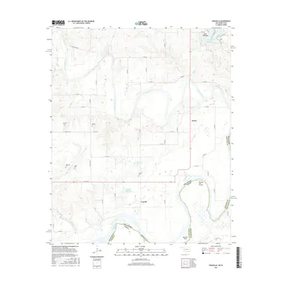
2022 Frogville
Choctaw County, OK
2022 Hugo Dam
Choctaw County, OK
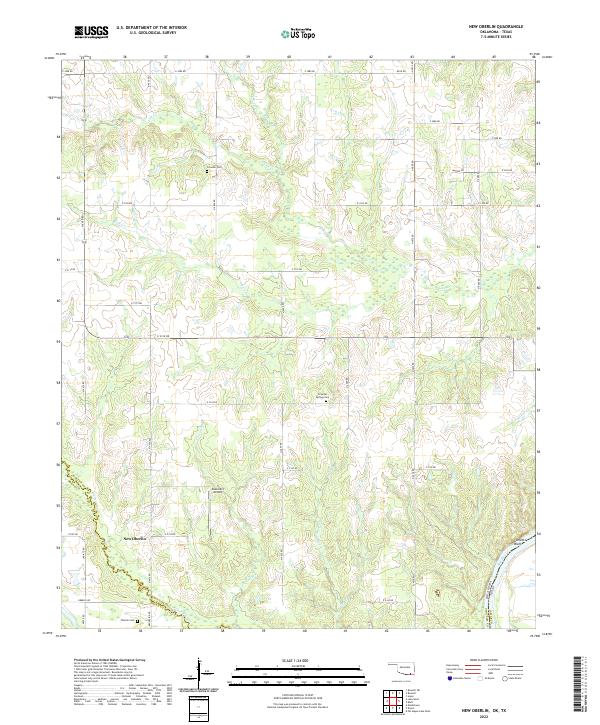
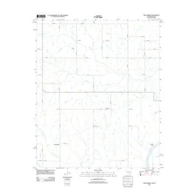
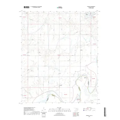
2022 New Oberlin
Choctaw County, OK
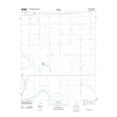
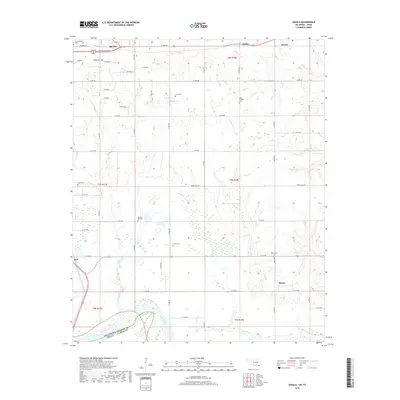
2022 Shoals
Choctaw County, OK