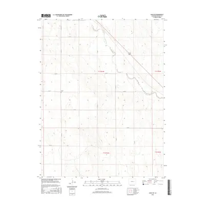
2016 Map of Hugo SW
USGS Topo · Published 2016About this map
Big Sandy Creek winds through this section of Lincoln County, defining the drainage patterns of the High Plains landscape. The area is characterized by a deliberate grid of section lines and rural roads, such as Co RD 2t and Co RD 109, which reflect the structured land division of the Public Land Survey System. A notable site for local history is the Liberty Cem, situated along Co RD 2s. The topographic data reveals a series of intermittent watercourses feeding into Big Sandy Cr, illustrating the subtle elevation changes of the prairie. The map shows the intersection of modern infrastructure and historical land use, with CO Hwy 109 providing primary north-south access through this largely agricultural and open terrain.
Find a feature on this map
19 named features on this map. Tap any name to fly to it.
Don’t see what you’re looking for? This feature index may not catch every label — zoom into the map to look around manually.
Map Details
Editions of this 2016 Hugo SW Map
This is the sole edition of this map. No revisions or reprints were ever made.
Other maps of this area

1889 · Sanborn
USGS Topo · 1:125,000

1891 · Sanborn
USGS Topo · 1:125,000

1891 · Arroyo
USGS Topo · 1:125,000

1891 · Limon
USGS Topo · 1:125,000

1892 · Limon
USGS Topo · 1:125,000

1893 · Arroyo
USGS Topo · 1:125,000

1893 · Sanborn
USGS Topo · 1:125,000

1954 · Limon
USGS Topo · 1:250,000

1954 · Lamar
USGS Topo · 1:250,000

1957 · Limon
USGS Topo · 1:250,000