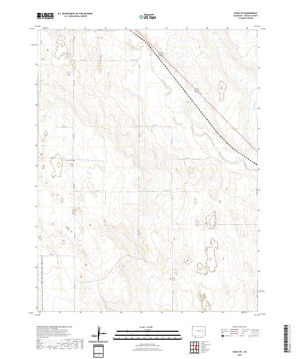
2022 Map of Hugo SW
USGS Topo · Published 2022About this map
The high plains of eastern Colorado define this landscape, where the ephemeral waters of Big Sandy Creek and Sevenmile Creek cut through the arid terrain. The presence of Liberty Cemetery offers a tangible point of interest for genealogists tracing family histories in Lincoln County, representing the quiet persistence of early settlement in this open ranching country. A grid of county roads, including CO Highway 109 and County Road 34, provides the primary infrastructure connecting these remote section lines. The map reveals a land structured by the Public Land Survey System, as evidenced by the clearly marked boundaries of T11S R54W and its surrounding townships. This 2022 survey demonstrates how the historic watercourses and a few foundational landmarks remain the essential reference points for navigating the expansive plains southwest of Hugo.
Find a feature on this map
22 named features on this map. Tap any name to fly to it.
Don’t see what you’re looking for? This feature index may not catch every label — zoom into the map to look around manually.
Map Details
Editions of this 2022 Hugo SW Map
This is the sole edition of this map. No revisions or reprints were ever made.
Other maps of this area

1889 · Sanborn
USGS Topo · 1:125,000

1891 · Sanborn
USGS Topo · 1:125,000

1891 · Arroyo
USGS Topo · 1:125,000

1891 · Limon
USGS Topo · 1:125,000

1892 · Limon
USGS Topo · 1:125,000

1893 · Arroyo
USGS Topo · 1:125,000

1893 · Sanborn
USGS Topo · 1:125,000

1954 · Limon
USGS Topo · 1:250,000

1954 · Lamar
USGS Topo · 1:250,000

1957 · Limon
USGS Topo · 1:250,000