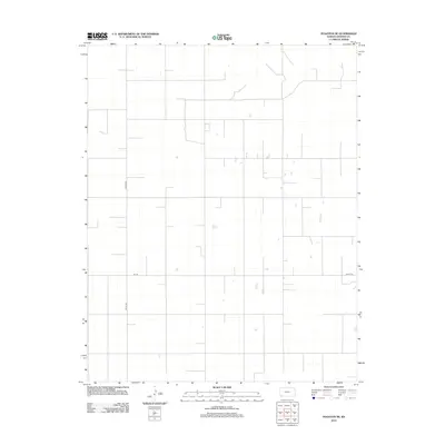
2012 Map of Hugoton SE
USGS Topo · Published 2012About this map
Optima Rd and 9mi Rd define the rectilinear layout of this rural landscape in Stevens County. The area is characterized by the expansive section-line road network typical of the High Plains, where agricultural development and land management follow precise geometric boundaries. Scattered depressions and small intermittent water bodies appear across the terrain, reflecting the unique hydrography of the region before modern land-use changes. This 2012 survey by the U.S. Geological Survey documents the essential infrastructure and topography of the Kansas plains, including local transport routes such as 2nd St Rd. It serves as a clear record of the modern rural infrastructure and natural drainage patterns in the southwest corner of the state.
Find a feature on this map
3 named features on this map. Tap any name to fly to it.
Don’t see what you’re looking for? This feature index may not catch every label — zoom into the map to look around manually.
Map Details
Editions of this 2012 Hugoton SE Map
This is the sole edition of this map. No revisions or reprints were ever made.
Other maps of this area

1954 · Perryton
USGS Topo · 1:250,000

1955 · Dodge City
USGS Topo · 1:250,000

1958 · Perryton
USGS Topo · 1:250,000

1958 · Dodge City
USGS Topo · 1:250,000

1959 · Dodge City
USGS Topo · 1:250,000

1967 · Straight
USGS Topo · 1:24,000

1967 · Straight NE
USGS Topo · 1:24,000

1967 · Hooker NW
USGS Topo · 1:24,000
1974 · Hugoton SE
USGS Topo · 1:24,000

1974 · Hugoton
USGS Topo · 1:24,000