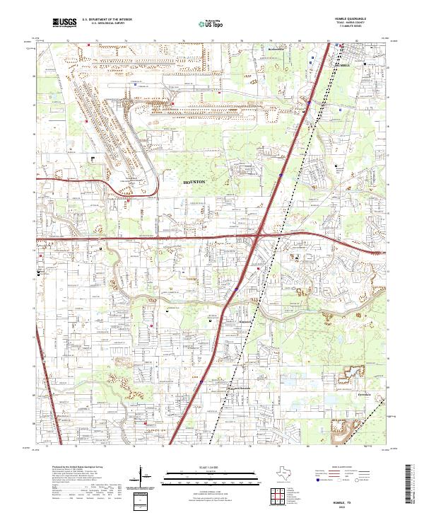
2022 Map of Humble
USGS Topo · Published 2022About this map
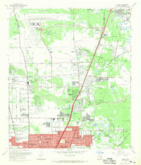
George Bush Intercontinental/Houston Airport dominates the northwestern portion of this 2022 survey, illustrating the significant infrastructure that defines the modern character of northern Harris County. The landscape is a complex weave of industrial transit corridors and residential pockets like Bordersville and Kinwood, interspersed with established memorial sites such as Rosewood Memorial Park and Brookside Memorial Park. The drainage network, including Greens Bayou and Garners Bayou, dictates the layout of local roads and subdivisions, highlighting the relationship between the coastal plain's hydrology and urban expansion. For those researching family history, the map identifies several smaller burial grounds, including Kolum Cem, Aldine Cem, and the Santa Teresa Cem, providing precise locations for these heritage sites within the burgeoning Houston metropolitan area.
Find a feature on this map
305 named features on this map. Tap any name to fly to it.
Don’t see what you’re looking for? This feature index may not catch every label — zoom into the map to look around manually.
Map Details
Editions of this 2022 Humble Map
This is the sole edition of this map. No revisions or reprints were ever made.
Historical Maps of Stoney Brook Through Time
8 maps found