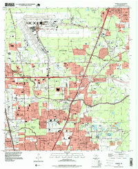
1919 Map of Humble
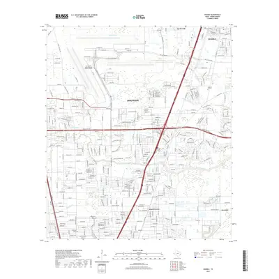
USGS Topo · Published 1949About this map
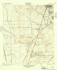
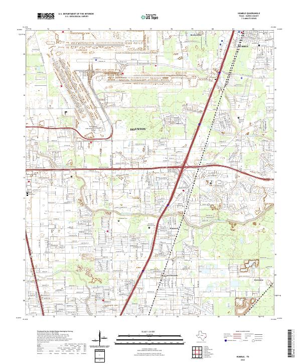
Humble stands as a significant industrial and transit center in this 1916 survey, dominated by a concentrated grid of Oil Tanks and a convergence of major rail lines. The landscape reveals the critical intersection of the Houston and East Texas Railway and the Beaumont Sour Lake and Western, driving the early twentieth-century economy of Harris County.
Find a feature on this map
18 named features on this map. Tap any name to fly to it.
Don’t see what you’re looking for? This feature index may not catch every label — zoom into the map to look around manually.
Map Details
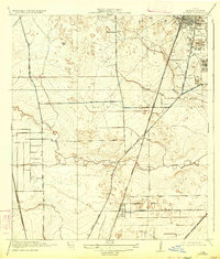
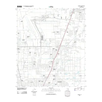
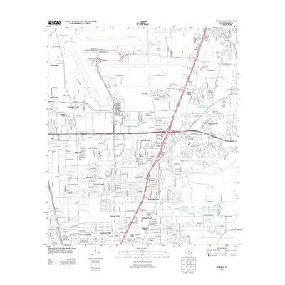
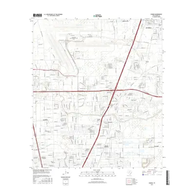
Editions of this 1919 Humble Map
3 editions found
Historical Maps of Houston Through Time
12 maps found

1916 Humble
Harris County, TX
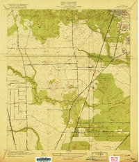
1919 Humble
Harris County, TX
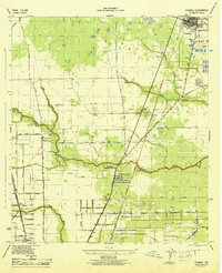
1946 Humble
Harris County, TX

1954 Humble
Harris County, TX

1967 Humble
Harris County, TX

1982 Humble
Harris County, TX
1995 Humble
Harris County, TX
2010 Humble
Harris County, TX
2013 Humble
Harris County, TX
2016 Humble
Harris County, TX
2019 Humble
Harris County, TX
2022 Humble
Harris County, TX