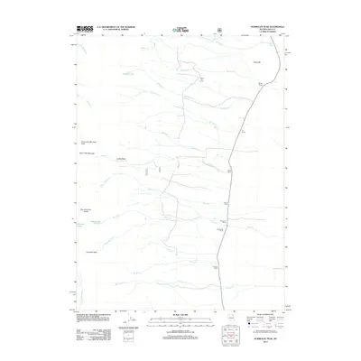
2012 Map of Humboldt Peak
USGS Topo · Published 2012About this map
Humboldt Peak and the high summits of the East Humboldt Range dominate this Nevada landscape, where high-altitude glacial features like Lizzies Basin and Hole in the Mountain Peak give way to a network of drainage creeks. The eastern slope is defined by a series of family-run operations along the valley floor, including the Wright Ranch, K C Ranch, and Weeks Ranch. This settlement pattern reflects the enduring importance of water rights and ranching in Elko County, with nearly every drainage—from Wiseman Cr to Johnson Cr—supporting a named homestead at the mountain's base. Higher elevations remain largely wild, accessible by the Ralph Fire Lane, while alpine water bodies like Winchell Lake and Boulder Lake sit tucked into the steep northern ridges.
Find a feature on this map
33 named features on this map. Tap any name to fly to it.
Don’t see what you’re looking for? This feature index may not catch every label — zoom into the map to look around manually.
Map Details
Editions of this 2012 Humboldt Peak Map
This is the sole edition of this map. No revisions or reprints were ever made.
Other maps of this area

1935 · Halleck
USGS Topo · 1:125,000

1955 · Wells
USGS Topo · 1:250,000

1955 · Elko
USGS Topo · 1:250,000

1958 · Wells
USGS Topo · 1:250,000

1958 · Elko
USGS Topo · 1:250,000

1961 · Wells
USGS Topo · 1:250,000

1962 · Elko
USGS Topo · 1:250,000

1965 · Elko
USGS Topo · 1:250,000

1967 · Welcome
USGS Topo · 1:24,000

1967 · Herder Creek
USGS Topo · 1:24,000