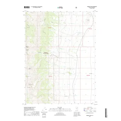
2018 Map of Humboldt Peak
USGS Topo · Published 2018About this map
Humboldt Peak and the high ridges of the East Humboldt Range dominate this 2018 survey of Elko County, Nevada. The terrain is characterized by steep alpine topography, including the notable Hole in the Mtn Peak and deep glacial features like Lizzies Basin. The eastern slopes within the Humboldt National Forest are fed by numerous seasonal drainages, such as Winchell Cr and Leach Cr, which descend toward the lower elevations of Clover Valley. Several high-altitude water bodies, including Winchell Lake, Steele Lake, and Boulder Lake, are positioned along the western edge of the quadrangle. For those interested in back-country navigation, the map illustrates established access routes like the E Humboldt Highline and Weeks Loop, which connect these remote alpine landmarks.
Find a feature on this map
34 named features on this map. Tap any name to fly to it.
Don’t see what you’re looking for? This feature index may not catch every label — zoom into the map to look around manually.
Map Details
Editions of this 2018 Humboldt Peak Map
This is the sole edition of this map. No revisions or reprints were ever made.
Other maps of this area

1935 · Halleck
USGS Topo · 1:125,000

1955 · Wells
USGS Topo · 1:250,000

1955 · Elko
USGS Topo · 1:250,000

1958 · Wells
USGS Topo · 1:250,000

1958 · Elko
USGS Topo · 1:250,000

1961 · Wells
USGS Topo · 1:250,000

1962 · Elko
USGS Topo · 1:250,000

1965 · Elko
USGS Topo · 1:250,000

1967 · Welcome
USGS Topo · 1:24,000

1967 · Herder Creek
USGS Topo · 1:24,000