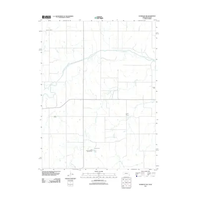
2011 Map of Humboldt SW
USGS Topo · Published 2011About this map
The South Fork Big Nemaha River winds across this section of Richardson County, cutting a wide valley through the rural borderlands of Nebraska and Kansas. The landscape is defined by its agricultural grid and a network of drainages, including Fourmile Creek, Easly Creek, and the Dry Branch. For genealogists and local historians, the map preserves the locations of several community burial grounds, such as Bohemian Cemetery in the northwest, Athens Cemetery, and Pleasant Hill Cemetery. Institutional and recreational landmarks are visible in the southern reaches of the quadrangle, notably Cornhusker Camp and Abel Lake, which is formed by the Boy- Scouts of America Detention Dam. The presence of these named sites amidst the surrounding farmland provides a clear view of the area's social and natural geography in the early 21st century.
Find a feature on this map
11 named features on this map. Tap any name to fly to it.
Don’t see what you’re looking for? This feature index may not catch every label — zoom into the map to look around manually.
Map Details
Editions of this 2011 Humboldt SW Map
This is the sole edition of this map. No revisions or reprints were ever made.
Other maps of this area

1888 · Hiawatha
USGS Topo · 1:125,000

1889 · Seneca
USGS Topo · 1:125,000

1894 · Seneca
USGS Topo · 1:125,000

1894 · Hiawatha
USGS Topo · 1:125,000

1916 · Humboldt
USGS Topo · 1:62,500

1950 · Kansas City
USGS Topo · 1:250,000

1954 · Kansas City
USGS Topo · 1:250,000

1955 · Manhattan
USGS Topo · 1:250,000

1955 · Nebraska City
USGS Topo · 1:250,000

1955 · Lincoln
USGS Topo · 1:250,000