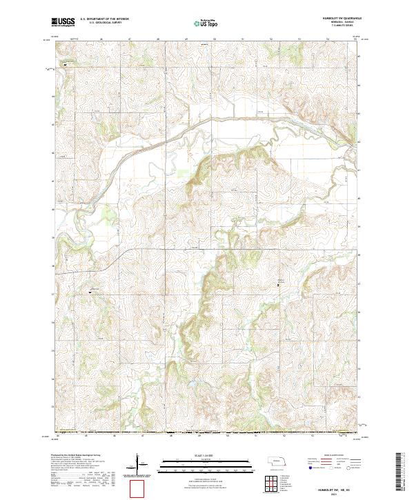
2021 Map of Humboldt SW
USGS Topo · Published 2021About this map
The South Fork Big Nemaha River carves a winding path through this corner of Richardson County, defining a landscape of deeply dissected drainage basins. This area is characterized by its rural agricultural layout, where a network of gravel roads like 632 Ave and 706 Rd follows the section lines of the Public Land Survey System. Genealogists will find significant local landmarks in the Athens Cem, Bohemian Cem, and Pleasant Hill Cem, which are tucked away among the rolling hills and creek beds.
Find a feature on this map
38 named features on this map. Tap any name to fly to it.
Don’t see what you’re looking for? This feature index may not catch every label — zoom into the map to look around manually.
Map Details
Editions of this 2021 Humboldt SW Map
This is the sole edition of this map. No revisions or reprints were ever made.
Other maps of this area

1888 · Hiawatha
USGS Topo · 1:125,000

1889 · Seneca
USGS Topo · 1:125,000

1894 · Seneca
USGS Topo · 1:125,000

1894 · Hiawatha
USGS Topo · 1:125,000

1916 · Humboldt
USGS Topo · 1:62,500

1950 · Kansas City
USGS Topo · 1:250,000

1954 · Kansas City
USGS Topo · 1:250,000

1955 · Manhattan
USGS Topo · 1:250,000

1955 · Nebraska City
USGS Topo · 1:250,000

1955 · Lincoln
USGS Topo · 1:250,000