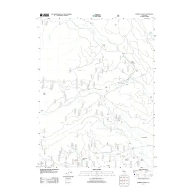
2012 Map of Humbug Valley
USGS Topo · Published 2012About this map
Humbug Valley and the surrounding high-elevation meadows define this portion of the Sierra Nevada near the beginning of the twenty-first century. The landscape is marked by a legacy of ranching, with established holdings such as Baccala Ranch, Keefer Ranch, and Lemm Ranch situated among the various mountain basins. These operations are joined by seasonal recreation sites like Soldier Meadows Campground and Little Grizzly Campground, reflecting the area's transition toward public land use and forest management.
Find a feature on this map
24 named features on this map. Tap any name to fly to it.
Don’t see what you’re looking for? This feature index may not catch every label — zoom into the map to look around manually.
Map Details
Editions of this 2012 Humbug Valley Map
This is the sole edition of this map. No revisions or reprints were ever made.
Other maps of this area

1886 · Lassen Peak
USGS Topo · 1:250,000

1892 · Lassen Peak
USGS Topo · 1:250,000

1894 · Lassen Peak
USGS Topo · 1:250,000

1955 · Almanor
USGS Topo · 1:62,500

1955 · Westwood
USGS Topo · 1:250,000

1956 · Mt. Harkness
USGS Topo · 1:62,500

1956 · Chester
USGS Topo · 1:62,500

1958 · Westwood
USGS Topo · 1:250,000

1958 · Jonesville
USGS Topo · 1:62,500

1959 · Westwood
USGS Topo · 1:250,000