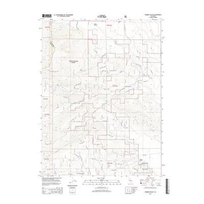
2015 Map of Humbug Valley
USGS Topo · Published 2015About this map
Soldier Meadows and the headwaters of Soldier Cr define this high-altitude landscape within the Lassen National Forest. This area, located along the eastern edge of Tehama County, reflects a geography primarily shaped by drainage patterns and forest management roads rather than dense human settlement. The presence of these meadows suggests a history of seasonal grazing and water management in the Sierra Nevada foothills, where the terrain transitions toward the interior valleys. Researchers interested in the hydrology of the region can trace the early reaches of Soldier Cr as it flows through this high-country terrain. The map serves as a record of the remote forest infrastructure and natural water features as they appeared in the early 21st century.
Find a feature on this map
2 named features on this map. Tap any name to fly to it.
Don’t see what you’re looking for? This feature index may not catch every label — zoom into the map to look around manually.
Map Details
Editions of this 2015 Humbug Valley Map
This is the sole edition of this map. No revisions or reprints were ever made.
Other maps of this area

1886 · Lassen Peak
USGS Topo · 1:250,000

1892 · Lassen Peak
USGS Topo · 1:250,000

1894 · Lassen Peak
USGS Topo · 1:250,000

1955 · Almanor
USGS Topo · 1:62,500

1955 · Westwood
USGS Topo · 1:250,000

1956 · Mt. Harkness
USGS Topo · 1:62,500

1956 · Chester
USGS Topo · 1:62,500

1958 · Westwood
USGS Topo · 1:250,000

1958 · Jonesville
USGS Topo · 1:62,500

1959 · Westwood
USGS Topo · 1:250,000