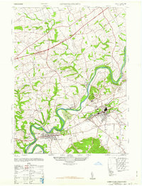
1947 Map of Hummelstown
USGS Topo · Published 1947About this map
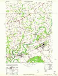
The winding Swatara Creek anchors this mid-century survey of the Pennsylvania landscape between Hummelstown and the rapidly developing planned community of Hershey. While the southern portion of the map is dominated by the sprawling campus of the Hershey Ind School and iconic landmarks like the Hershey Zoo and Hershey Stadium, the northern half retains a more rural character defined by small crossroads settlements like Hanoverdale and Shellsville.
Find a feature on this map
39 named features on this map. Tap any name to fly to it.
Don’t see what you’re looking for? This feature index may not catch every label — zoom into the map to look around manually.
Map Details
Editions of this 1947 Hummelstown Map
2 editions found
Other maps of this area

1892 · Hummelstown
USGS Topo · 1:62,500

1892 · Harrisburg
USGS Topo · 1:62,500

1899 · Harrisburg
USGS Topo · 1:62,500

1906 · New Cumberland
USGS Topo · 1:62,500

1908 · Middletown
USGS Topo · 1:62,500

1924 · Hummelstown
USGS Topo · 1:62,500

1924 · Harrisburg
USGS Topo · 1:62,500

1943 · New Cumberland
USGS Topo · 1:62,500

1943 · Middletown
USGS Topo · 1:62,500

1943 · Harrisburg
USGS Topo · 1:62,500
Featured Places
- Hershey, Derry Township
- Rutherford, Swatara Township
- Skyline View, West Hanover Township
- Hummelstown, PA
- East Hanover Township, PA