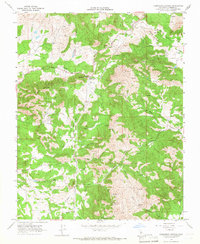
1965 Map of Humphreys Station
USGS Topo · Published 1966About this map
Humphreys Station serves as the primary landmark in this mid-1960s study of the Fresno County foothills, situated where several prominent seasonal drainages converge. The landscape is defined by its mining history and rugged topography, featuring the Jack Thorn Mine, the Clara H Mine, and the Copper King Mine. To the north, Burrough Valley and Watts Valley carve paths through the terrain, while the Blasingame Fire Control Sta indicates the area's importance for regional fire management.
Find a feature on this map
27 named features on this map. Tap any name to fly to it.
Don’t see what you’re looking for? This feature index may not catch every label — zoom into the map to look around manually.
Map Details
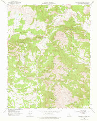
Editions of this 1965 Humphreys Station Map
2 editions found
Other maps of this area

1904 · Kaiser
USGS Topo · 1:125,000

1912 · Mariposa
USGS Topo · 1:125,000

1920 · Orangedale School
USGS Topo · 1:24,000

1922 · Round Mountain
USGS Topo · 1:31,680

1922 · Trimmer
USGS Topo · 1:96,000

1923 · Academy
USGS Topo · 1:31,680

1923 · Orangedale School
USGS Topo · 1:31,680

1924 · Dinuba
USGS Topo · 1:125,000

1942 · Watts Valley
USGS Topo · 1:62,500

1942 · Millerton Lake
USGS Topo · 1:62,500