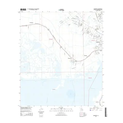
2015 Map of Humphreys
USGS Topo · Published 2015About this map
Bayou Black serves as the primary artery through this reach of Terrebonne Parish, its winding course mirrored by the Southdown Mandalay Rd and the settlement pattern of the region. From the residential expansion of Houma and Hollywood in the east to the smaller landings at Waterproof and Mandalay, the landscape is defined by the transition from suburban development to the wet marshlands of the south. The southern half of the sheet is dominated by a complex network of waterways, including the straight-cut Intracoastal Waterway and Minors Canal, which drain into Lake Hatch. This area shows the intersection of modern recreation and commercial transit, where the Nature Walking Trail sits just north of the vast hydrological systems that characterize the Louisiana coast. Local history is reflected in the placement of Huffaker Field and the distinct neighborhoods of Crescent and Humphreys, each tied to the narrow corridors of high ground along the bayous.
Find a feature on this map
101 named features on this map. Tap any name to fly to it.
Don’t see what you’re looking for? This feature index may not catch every label — zoom into the map to look around manually.
Map Details
Editions of this 2015 Humphreys Map
This is the sole edition of this map. No revisions or reprints were ever made.
Other maps of this area

1892 · Gibson
USGS Topo · 1:62,500

1892 · Houma
USGS Topo · 1:62,500

1894 · Bayou De Large
USGS Topo · 1:62,500

1894 · Dulac
USGS Topo · 1:62,500

1897 · Gibson
USGS Topo · 1:62,500

1932 · Houma SW
USGS Topo · 1:31,680

1932 · Houma NW
USGS Topo · 1:31,680

1935 · Theriot
USGS Topo · 1:31,680

1935 · Lake Gero
USGS Topo · 1:31,680

1935 · Lake Penchant
USGS Topo · 1:31,680