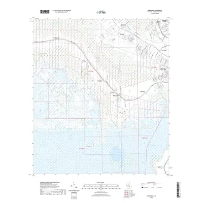
2020 Map of Humphreys
USGS Topo · Published 2020About this map
Bayou Black winds through the low-lying Terrebonne Parish landscape, anchoring a string of historic settlements including Humphreys, Crescent, and Waterproof. The settlement pattern follows the natural levees of the bayous, where higher ground supported established landmarks like Crescent Farm and several community anchors such as Saint Matthews Baptist Church Cem and Saint Luke Baptist Cem. This 2020 map documents the transition from the concentrated residential corridors along Little Bayou Black to the expansive wetlands and marsh management areas to the south.
Find a feature on this map
93 named features on this map. Tap any name to fly to it.
Don’t see what you’re looking for? This feature index may not catch every label — zoom into the map to look around manually.
Map Details
Editions of this 2020 Humphreys Map
This is the sole edition of this map. No revisions or reprints were ever made.
Other maps of this area

1892 · Gibson
USGS Topo · 1:62,500

1892 · Houma
USGS Topo · 1:62,500

1894 · Bayou De Large
USGS Topo · 1:62,500

1894 · Dulac
USGS Topo · 1:62,500

1897 · Gibson
USGS Topo · 1:62,500

1932 · Houma SW
USGS Topo · 1:31,680

1932 · Houma NW
USGS Topo · 1:31,680

1935 · Theriot
USGS Topo · 1:31,680

1935 · Lake Gero
USGS Topo · 1:31,680

1935 · Lake Penchant
USGS Topo · 1:31,680