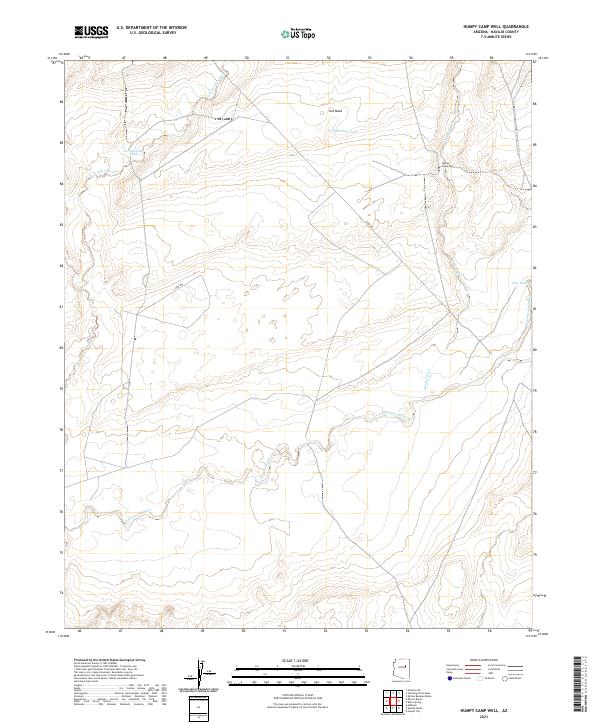
2021 Map of Humpy Camp Well
USGS Topo · Published 2021About this map
Fern Feather Wash and Cottonwood Wash carve through this high desert plateau in Navajo County, illustrating a landscape defined by seasonal water drainage and cattle ranching infrastructure. The prominence of water management is visible through features like Fern Feather Tank, Marshall Tank, and the eponymous Humpy Camp Well. These sites, along with New Well, provided essential resources for livestock in a territory where permanent water is scarce. The arid terrain is further marked by Ives Mesa in the north, while the presence of the Cow Trl suggests established ranching routes that have likely persisted for generations. This 2021 update maintains the Public Land Survey System grid, showing the township boundaries between T20N and T19N that continue to organize this remote portion of Arizona.
Find a feature on this map
15 named features on this map. Tap any name to fly to it.
Don’t see what you’re looking for? This feature index may not catch every label — zoom into the map to look around manually.
Map Details
Editions of this 2021 Humpy Camp Well Map
This is the sole edition of this map. No revisions or reprints were ever made.
Other maps of this area

1883 · Tusayan
USGS Topo · 1:250,000

1886 · Tusayan
USGS Topo · 1:250,000

1886 · Holbrook
USGS Topo · 1:250,000

1893 · Holbrook
USGS Topo · 1:250,000

1947 · Flagstaff
USGS Topo · 1:250,000

1954 · Winslow
USGS Topo · 1:62,500

1954 · Winslow 4 SE
USGS Topo · 1:24,000

1954 · Winslow 4 NE
USGS Topo · 1:24,000

1954 · Flagstaff
USGS Topo · 1:250,000

1954 · Holbrook
USGS Topo · 1:250,000