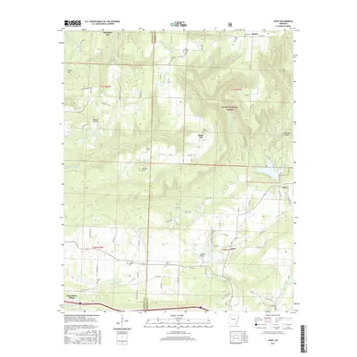
2017 Map of Hunt
USGS Topo · Published 2017About this map
Wiederkehr Village and the surrounding peaks of the Ozark National Forest define this landscape along the Franklin and Johnson County line. The area is marked by a high density of family and community burial grounds, including Liberty Cem, Harmon Cem, and Hardgraves Cem, which serve as vital touchstones for local genealogical research. Small settlements such as Hunt, Batson, and Edna are scattered across the terrain, connected by a network of rural roads like Carter Mountain Rd and Mountain Top Rd.
Find a feature on this map
79 named features on this map. Tap any name to fly to it.
Don’t see what you’re looking for? This feature index may not catch every label — zoom into the map to look around manually.
Map Details
Editions of this 2017 Hunt Map
This is the sole edition of this map. No revisions or reprints were ever made.
Other maps of this area

1879 · Cravens
USGS Topo · 1:62,500

1887 · Magazine Mountain #1
USGS Topo · 1:62,500

1887 · Magazine Mountain #2
USGS Topo · 1:62,500

1887 · Watalula
USGS Topo · 1:62,500

1887 · Magazine Mountain
USGS Topo · 1:62,500

1890 · Magazine Mountain
USGS Topo · 1:125,000

1906 · Batson
USGS Topo · 1:62,500

1939 · Watalula
USGS Topo · 1:62,500

1956 · Russellville
USGS Topo · 1:250,000

1961 · Coal Hill
USGS Topo · 1:24,000