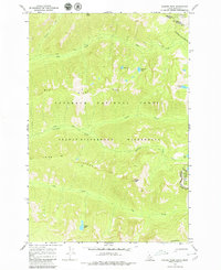
1966 Map of Hunter Peak
USGS Topo · Published 1979About this map
Hunter Peak stands as the prominent landmark in this high-altitude landscape within the Selway-Bitterroot Wilderness. Surveyed in the mid-1960s, the map reveals a region defined entirely by its natural drainage systems and sharp ridgelines, including Elk Ridge and Long Ridge. The network of water bodies is particularly notable, ranging from the centrally located Moe Lake and Diamond Lake to the isolated Bigfoot Lake in the southern reaches.
Find a feature on this map
24 named features on this map. Tap any name to fly to it.
Don’t see what you’re looking for? This feature index may not catch every label — zoom into the map to look around manually.
Map Details
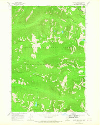
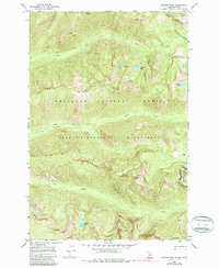
Editions of this 1966 Hunter Peak Map
3 editions found
Other maps of this area

1901 · Hamilton
USGS Topo · 1:125,000

1911 · Lolo
USGS Topo · 1:250,000

1913 · Lolo
USGS Topo · 1:250,000

1956 · Elk City
USGS Topo · 1:250,000

1956 · Hamilton
USGS Topo · 1:250,000

1959 · Hamilton
USGS Topo · 1:250,000

1960 · Elk City
USGS Topo · 1:250,000

1960 · Hamilton
USGS Topo · 1:250,000

1964 · Hamilton
USGS Topo · 1:250,000

1964 · Tenmile Lake
USGS Topo · 1:24,000